At 08:00 on a calm, rippled sea in bright sunshine we were off the island of La Palma in the Canary Islands. The Canary Islands are 620 miles SW of the Iberian Peninsula and are an archipelago of 13 volcanic islands. The group’s name is thought to have derived from the dogs (canis) seen there in Roman times. La Palma is the most northerly island and we docked at Santa Cruz de la Palma.
The island is also known as La Isla Bonita (The Beautiful Island) or Isla Verde (the Green Island) because of its mixture of plants, forests, mountains and seascapes. Its highest peak is Roque de los Muchachos at 7950ft.
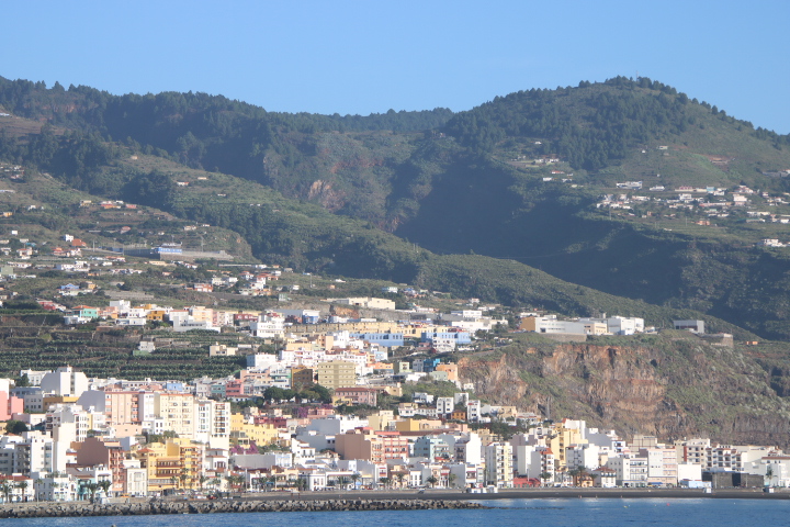
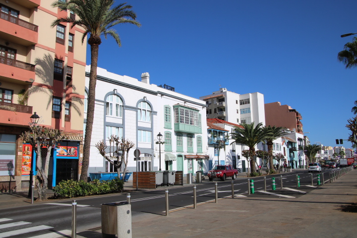
The capital of the island is Santa Cruz de la Palma. It is situated on a lava flow and the rim of the Caldereta (small caldera). Founded in 1493 the city served as a port that connected routes from Europe to the Americas. Initially the major export was sugar cane because the enslaved peoples knew how to grow it. Later migrants knew how to grow bananas and that has become a major export with 95% of the banana crop going to Spain. The export of bananas became a commercial entity through the work of an Irish merchant thought to be known as O’Daly, later Fred Olsen (now a cruise and ferry operator) and Elder and Fyffes via the Port of London.
Our exploration took us to the original port and banana wharf past Phoenician buildings that are reminders of the trade to and from the Mediterranean and Central Asia.


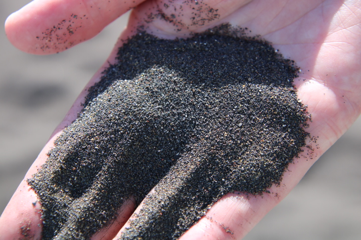
The black volcanic ash forming the beaches does not look particularly inviting but is a reminder of how the islands were formed.

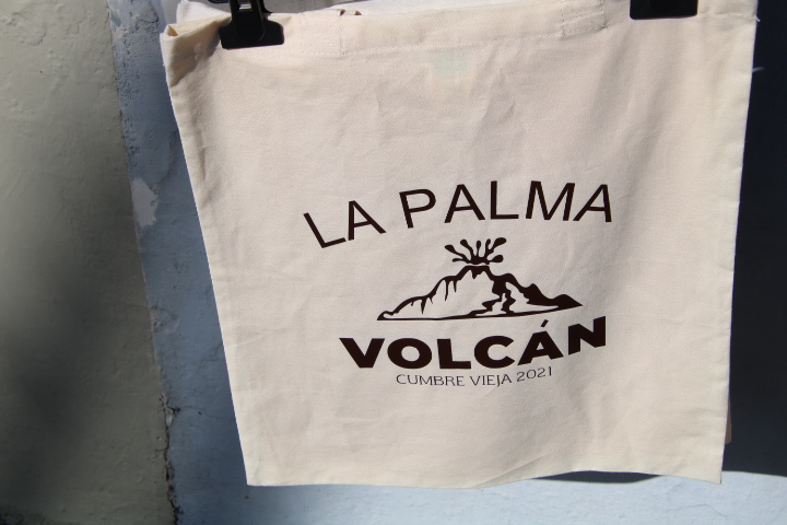
La Palma is the newest Canary Island rising from the Atlantic about 1.8 million years ago. There have been 8 eruptions since records began but the latest in 2021 is the best documented. Beginning on 19th September2021 and erupting continuously for 85 days more than 2,00 buildings were buried by the lava. People occupied these so the evacuation and preparation for the eruption certainly avoided casualties.
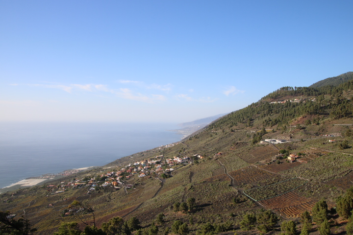
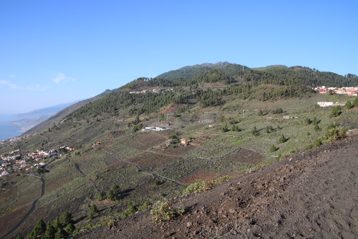
The bulk of the northern part of the island was affected by this2021 eruption and remains off limits because of gas emissions. Our plans had to change and we visited areas in the south around Fuencaliente famous for its wines and hot springs.
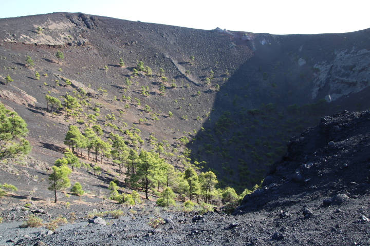
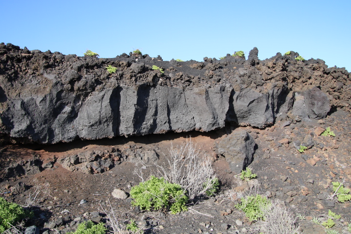
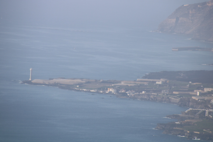
The winding road from Santa Cruz enabled us to see the lighthouse at the most southerly tip of the island. Our viewpoint was on the lava flow from the nearby volcano, San Antonio, which erupted in 1677 covering the area with lapilli (lava, ash and pumice) to a depth of at least 2m. the plants that grow here have been brought as seed by the wind or by seabirds and later farmers.

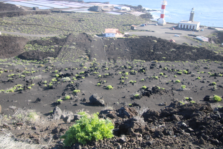
Close by is another lighthouse which is next to the lava flow of the 1971 eruption and just visible is the new black lava flow from the 2021 eruption.
Later we visited the crater and Visitor Centre on the edge of the Volcan de San Antonio.