At 08:00 a.m. we were at 75° 13´ North, 78° 53´ West en route to Philpots Island on the east coast of Devon Island. This destination has been chosen as site of interest as we make our way to the Fort Ross area where we hope we hope to visit Beechey Island. It sounded dramatic last evening when the Leader of the expedition announced that an ‘air bridge’ had been established for the 10th August from Pond Inlet to Yellowknife and then on to Montreal, using Bombardier Dash 8 propeller aircraft to Yellowknife and 737s to Montreal. It seems like every spare aeroplane in this region will be in use!. It is disappointing that we will not achieve a landing at Cambridge Bay because of solid pack ice but in the true spirit of Arctic exploration and rescue this ‘rescue by air’ is not very dramatic as we are not in desperate straights, but great fun.
The Age of Polar discovery from 1576 – 1833 was driven by commerce and not by fame. A Belgian map of 1474 shows the known world without North America and only China to the west of Europe. Clearly this was speculative and more a product of the cartographer’s mind than of sound understanding. So, when Columbus in 1492 set off westwards from Europe, he estimated that a journey of 3700km would get him to Asia. The reality is, it is at least six times that distance and North America is in the way. Other explorers followed such as Vasco de Gama in 1498 and found a route to India, Magellan who explored the Pacific, John Cabot who found Hudson Bay and Jacques Cartier who explored the St Lawrence River as a possible route across the continent. Sir Martin Frobisher from 1539 -1594 made three voyages in search of the Northwest Passage but discovered Labrador and Baffin Island. The island’s capital city was Frobisher Bay until Nunavut and its renaming to Iqaluit. These early explorations provided more knowledge about the Far North and meant that the commercially sponsored expeditions had more of a purpose than simply ‘stabs in the dark’.
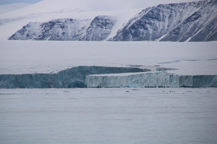
Upon arrival at Philpots Island we could see that it is not really an island because it is connected to the mainland of Devon Island by an isthmus of rock and gravel.


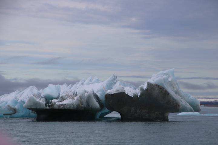
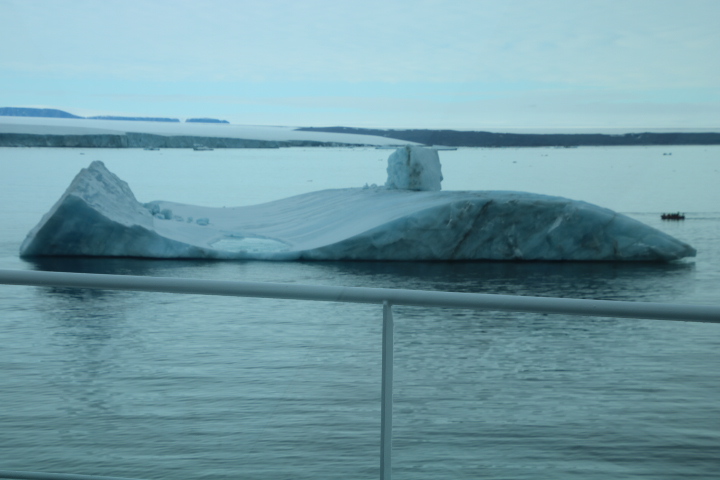
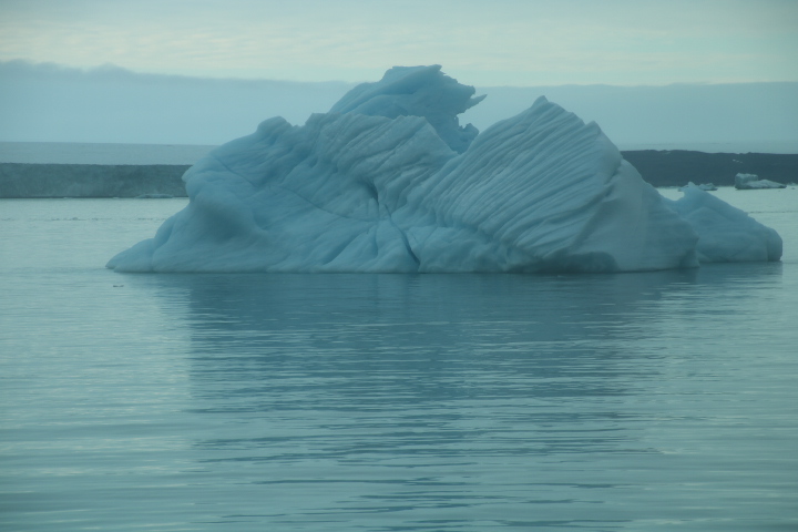
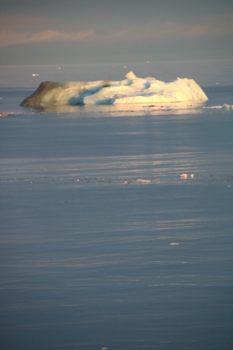
We cruised the bay from the ship to the snout of the glacier, investigating solitary bergs that had broken off the glacier. The colours, shape and size of these pieces of ice is amazing.


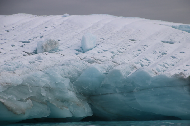


As we write this, a sizeable berg that we encircled on the cruise, is now filling a window on the Panorama Deck. It is getting closer! Patches of blue, but mostly a smokey grey sky add to the majesty and mystery of these places in the High Arctic. The snout towered above our dinghy at an estimated 100 foot, but it looked like a mixture of sedimentary and volcanic rock, even though it is ice.


We have penetrated the narrow bay between Philpots and Devon Islands and can now see that most of the isthmus is actually the terminal moraine of the glacier. This ridge of rock pebbles and sand is a combination of materials eroded by the base of the glacier and material carried on the edges and middle of the glacier as it worked its way to the sea. The larger the rocks the shorter time it has spent under or on the glacier and the smaller ones have been there the longest. The amazing thing about a moraine is that the rock fragments are not just from here. They have been moved across the High Arctic by the ice and some of them are likely to be Russian.
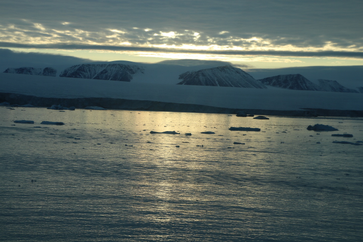
We are moored at an amazing location that few people have witnessed as it is not on the normal maritime route. The ship has had to stop short of the land because of a lack of depth soundings but as explorers of the Northwest Passage, to us it is the nearest thing to what those early explorers must have witnessed having travelled across ice-laden seas and found land through the sea fog.


We end the day with news that we may be heading towards Beechey Island.