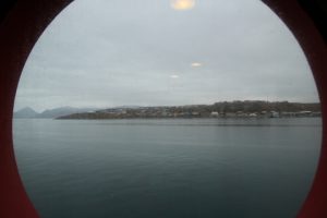
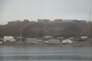
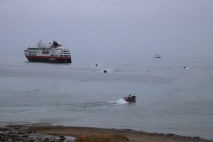
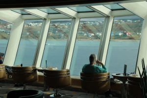
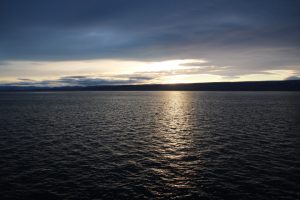
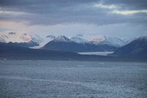
We arrived at Pond Inlet on Baffin Island at 06:00 a.m. We are anchored with the bow facing the wind at 72° 41´ North, 77° 59´ West. We are in the Eclipse Sound and anchored midway between Bylot Island and Pond Inlet.

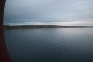
There is an air temperature of 5°C and rain is threatening. Pond Inlet is known in Inuktitut as Mittimatalik which means ‘the place where the landing place is’. It is a settlement of 1700 people and is the second largest on Baffin Island. The Canadian Border Agency will board the ship to conduct immigration services and before our departure we will take on board an ice pilot who will guide us through areas where ice threatens.
Pond Inlet was found in 1818 by the British explorer John Ross and named after John Pond an English astronomer of that time. John Ross was leading the first of a new series of expeditions to find the Northwest Passage and when passing through here was en route to Lancaster Sound.
Bylot Island is named after Robert Bylot who was the leading mutineer on Henry Hudson’s fourth expedition to the region in 1611. Hudson had found what is now known as Hudson Bay thinking it was the sea at the other side of the New World. As we said yesterday, he had discovered a dead end. Bylot and others thought this was not acceptable after all of the rigours they had experienced. Hudson with his son and seven men who supported him were manhandled into a boat and cast adrift. That was the last the world heard of them. Bylot, for whatever reasons, was forgiven by the Admiralty for the mutiny even though he could not provide any news about a sea route to China. Instead he was made a navigator on the next expedition led by Thomas Button in 1612. They explored west of Hudson Bay and their observations clarified some of the channels and bays around the islands of this part of the Canadian Archipeligo. This mission was financed by a new company called The Merchant Discoverers of the Northwest Passage, evidence again that it was commerce that was driving the search for the passage to China. Incidentally, Bylot with Baffin on the ship Discovery reached 77° North in 1616. At the time this was a record.
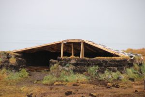
We landed on the beach and were greeted by local Inuit Leaders. A welcome reception of tea and bannocks (a type of bread originally from Scotland) in a summer house called a Sod House. The walls are made of earth and grass removed to form the floor area. The roof is made of seal skin waited down on the top of the walls by rocks and stretched over a timber framework to form an A-frame. The timbers were originally bone, possibly from whales.
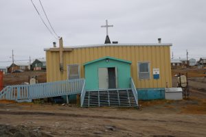
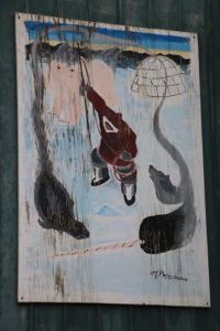
Our next placed visit was the Nattinak Visitors Centre based in the Library. Nattinak means low and long iceberg and this is reflected in the shape and structure of the building. Here was a display of traditional Inuit hunting and domestic life.
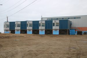
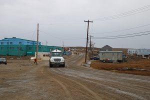
To reach the Community Hall where we were to witness a cultural event we passed houses built on stilts so that the internal heat does not melt the permafrost, which at this time of year is at a depth of about 20cm. Electricity and cable TV wiring is also above ground on posts surrounded by steel and gravel also to restrict any melting of the permafrost. We were surprised to see a hotel and large Coop supermarket. Both of them had small car parks!

A tanker passed us was used to remove sewage from houses as no underground piping system is possible. In winter a similar tanker distributes warm water to houses each day as again water pipes cannot be built and the water would be frozen at -30°C. The earth roads are sprayed with an oil mixture to keep the surface intact.

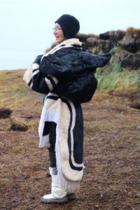
The cultural event showed us songs, dances and pastimes of the Inuit, many of which were played during long Arctic winter days. The dances reflected the integral part of the Inuit to the Arctic ecosystems for they have lived in this landscape for 4,000 years, but only achieved their freedom from Canadian Government control in 1999 when Nunavut (Our Land) was formed as a new territory of the country.





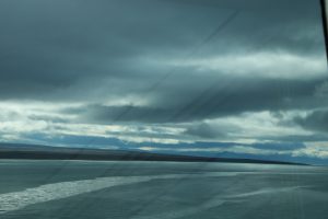
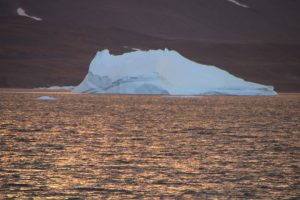
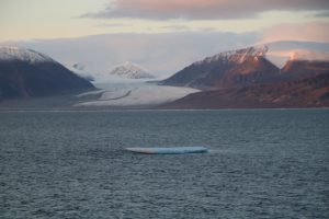
We have returned to the ship and are now slipping out of Pond Inlet and about to pass Bylot Island heading north. In the late evening we watched the sunset over the mountains of Baffin Island and the icebergs moving south as we head north to the Lancaster Sound. We are currently at 73° 12´ North, 80° 38´ West and the northeasterly wind is accelerating down the glacial valleys and beating against the starboard side of the ship and our cabin window.
This is a Canadian Coastguard Icebreaker which is going further north to assist a bulk carrier with food and provisions on board going to the ice threatened settlement of Eureka.
