This morning we have entered the Baffin Bay section of the Davis Strait. We cannot see Baffin Island yet as we have about 200 miles to cover before reaching Pond Inlet on its northern coast. At 09:30 a.m. we are at 72deg 3min North, 68deg 55min West with an air temperature of 2.5C and 4.7C in the water. It was in these waters that in 1845 there was the last recorded sighting of Franklin. Two small whaling vessels called The Prince of Wales and the Enterprise (from England) came across Franklin’s two large vessels and stopped out of courtesy because, in what was at that time of year and icy waste, human contact was important in order to check that all was well. After this encounter no one outside this part of the world heard from Franklin again.
“This part of the world” is important because there is some Inuit testimony of contact with the indigenous peoples, but because it was/is by word of mouth the evidence can sometimes be inaccurate.
The Davis Strait was given its name by the first European to venture this way. He was John Davis, an English explorer of the 17th century. It is thought that he was on a mission to find the Northwest Passage but was not equipped for the rigours of the Far North.

The first sponsored expedition was that of John Cabot from Bristol in the 16th century. At that time Bristol was an important fishing port and Cabot had extended its range, and therefore species of fish, by following the Basques to the Grand Banks off Newfoundland. Upon reporting back to his merchant sponsors they increased the number of ships and caught more fish than the Basques and as such had control of the Grand Banks fisheries. (Until the Canadians and Americans found out!)
For centuries cartographers and historians have known that the world is round. The first accurate maps of the then known world show Europe, Asia and North Africa on a sphere. Since Columbus there has been the drive to find a way out of Europe, across the seas to the other side of the world. The Flat Earth theory is similar to the current ‘fake news’. It just made Columbus look more courageous for sailing to the horizon where the ordinary people thought he would drop off.
The learned Bristol merchants suggested to Cabot that, if he could find a route to the east by going across or around the New World (North America) then the same merchants could command the trade in spices and silks. Off Cabot set and found what is today the Gulf of St. Lawrence. He could go no further but was convinced he had found a sea route across the top of the New World. Unfortunately it is only the mouth of the St. Lawrence River, but it is very big. Those of us who have crossed the Gulf by air on a trans-Atlantic flight know that it can take a long time to get across these waters.
In 1610 Henry Hudson came this way and turned west at the southern tip of Baffin Island finding water stretching westwards. This was later named the Hudson Strait. He continued and found a big bay which at first he thought was the sea at the western side of the New World. Unfortunately he found it to be a dead end. He had discovered what was to be named Hudson Bay. His crew mutineered. But more about that tomorrow.
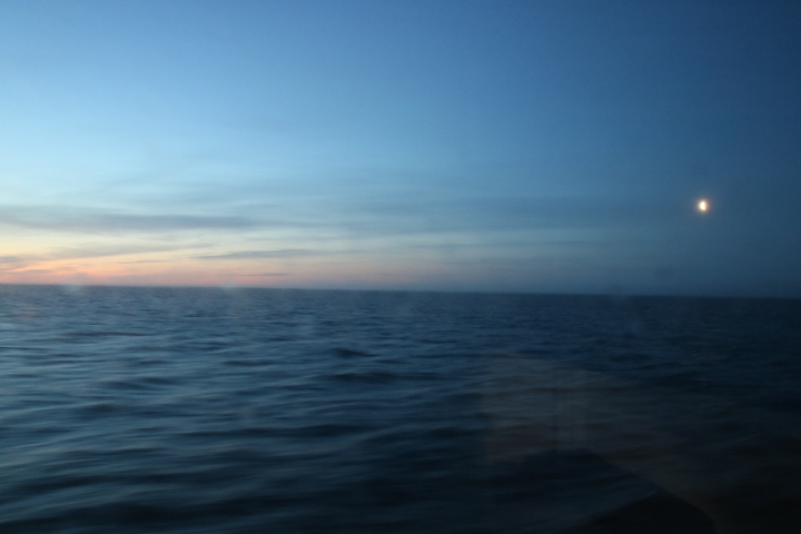
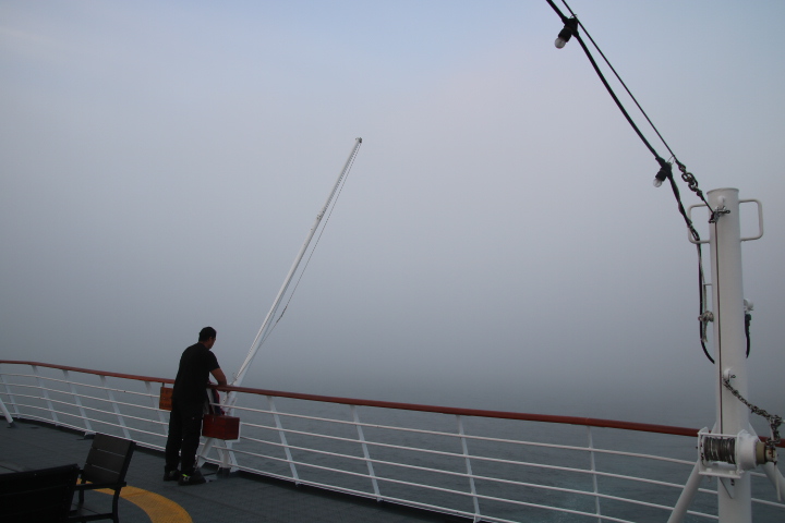
As our day ends we are sailing across a flat sea, heading northwest through an advection sea fog (the air is cooler than the water) at 72deg 34min North, 74deg 10min West with an air temperature of 0C. We will in a few hours enter Eclipse Sound on the north of Baffin Island and moor tomorrow morning off Pond Inlet.

At 10:00 p.m. the weather had changed but it did not last.