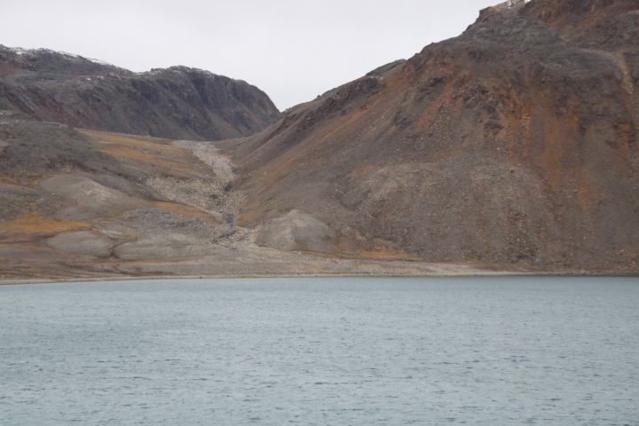
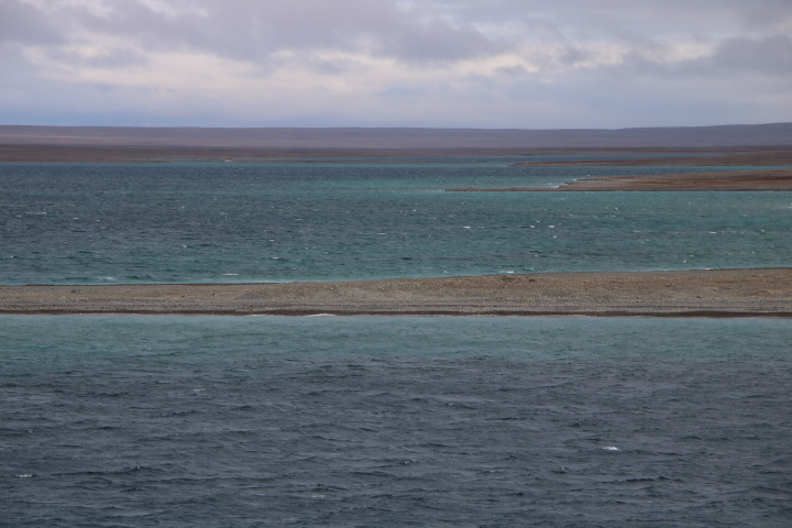
An early start, 06:45, for arrival at Conningham Bay. There is a stronger wind today and so one feels the cold for the first time. The landscape here, again is of glacial origin, only on a larger scale as the eskers here are particularly high and extensive.
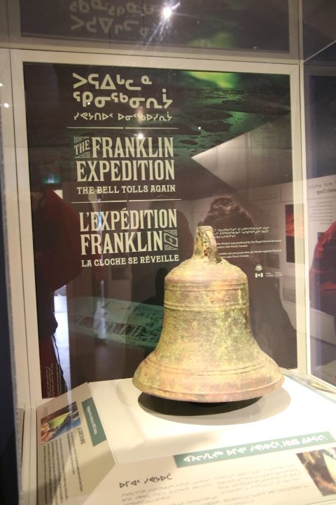
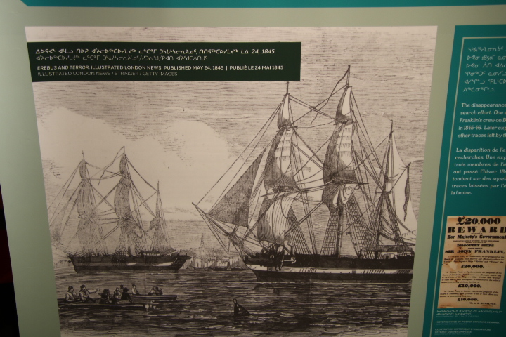
Yesterday and overnight, we were close to the sites of the wrecks of the Erebus and Terror, but because of very restrictive access as work continues to stabilise the ships and find ways in which they can be inspected by visitors, we were not allowed to stop. The trail of Franklin went cold until 2008, when the Canadian Government gave Parks Canada funding for three years to find the wrecks. Underwater searches began and side-scan sonar revealed an iron davit on 1st September 2014 confirming the wreck of the Erebus. Further work continued until 2016 when a tip-off from the Inuit guide Sammy Kogvik led to the discovery of the well-preserved wreck of the Terror. The submarine archaeology is ‘filling in the gaps’ between supposition, historical theory and the artefacts recovered by local people and purchased by John Rae. His collection of cutlery, personal effects, everyday items and most importantly, the medal of the Hanoverian Order of Merit that Franklin was wearing in the departure photograph of 1845 proved he died here.
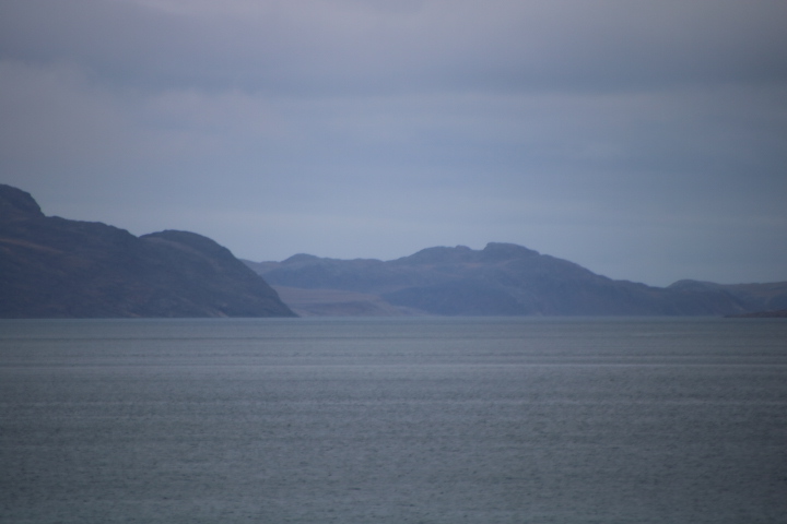
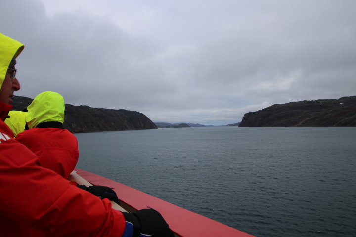
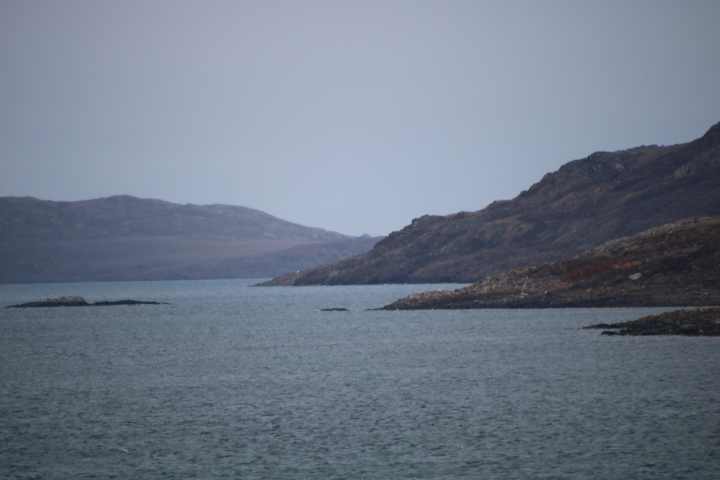
During lunch we continued northwards towards the Bellot Strait, often used as a way of avoiding ice at the confluence of the Lancaster Sound, Parry Channel and the McClure Strait at the north of Somerset Island. The Bellot Strait, 16 miles in length, is named after Joseph René Bellot who discovered the channel in 1851 whilst on a search for Franklin. He sailed west and turned north at the end thinking the Simpson Strait was a dead end (we have just come that way). Here it is appropriate that as we are on the Amundsen we should navigate, albeit in the opposite direction the strait used by Amundsen in 1903.
Captain McClintock on board the steam yacht Fox also came through the strait, having agreed to Lady Franklin’s request for a search for her husband and crews. McClintock’s search in 1859 found the only written evidence of what had happened to Franklin. As with much connected to this expedition it is not straightforward. The cairn he found on 6th May 1859 near Victory Point on King William Island contained a metal cylinder holding a note on an official Admiralty printed information form to be completed and left in cairns or thrown overboard in bottles. These were designed to tell other people who had been here and enable records and maps to be updated. There was no telegraph to enable messages to be transmitted. The note states ‘28th May 1847 HMS ships Erebus and Terror wintered in the ice in Lat 70.5N 98.23W. Having wintered in 1846 -7 at Beechey Island after having ascended Wellington Channel and returned by the west side of Cornwallis Island. Sir John Franklin commanding the Expedition. All well. Party consisting of 2 officers and 6 men left the ships on Monday 24th May 1847.’ This may have been written in haste and there is a limited amount of space so not all is clear cut.
- At last there was confirmation of the two ships
- They were heading north during the first summer
- They wintered at Beechey Island
- They sailed south but with no explanation
- The statement that a party had left 3 days earlier didn’t explain why
- There was a year’s mistake in the date of wintering at Beechey Island (there was also another error in another canister found a few miles away)
- Perhaps ‘all well’ did not quite represent the true situation
Any sense of triumph was soon removed by the scribbled additions made on 25th April 1848 by Captain Fitzjames. “HM ships Terror and Erebus were deserted on 22nd April …. NNW of this having been beset since 12th September 1846. The officers and crews consisting of 105 souls under the command of Captain Crozier landed here 69N 98W …. Sir John Franklin died 11th June 1847 and the total loss by death has been to this date 9 officers and 15 men”. Added by Crozier were these words “and start on tomorrow, 26th, for Backs Fish River.”
The document lacked any cause of death of Franklin or the high casualty rate among officers during the second winter or why Crozier led a party to the Backs (Great) Fish River. Scattered nearby was a pile of clothing, cooking utensils and navigational instruments, and presumably abandoned. They were undisturbed so no Inuit had been there. Later, following a tip off from an Inuit woman a dressed skeleton of an officer as well as a boat with skeletal remains within it and pointing towards the ships was found. There is speculation that it was Crozier’s party who decided to return to the ship, but no one knows.
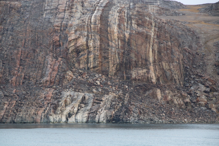
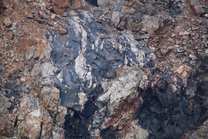
McClintock’s journey south through the Bellot Strait was blocked by ice. Later travellers described the strait as more like a fjord. It is certainly like this with the dark rocks of the Canadian Shield lining the channel. We now continue northwards toward Beechey Island.