When Larsen returned to Vancouver he went by way of the then untried northern route. He visualised a time when large powerful icebreakers would manage summer transits of the passage with little difficulty. Actually, this has not been the case. On the southern route, that most ships take, there is still a risk of closure, as we experienced in 2018. The Larsen route is even more prone to blockage. Larsen’s past certainly got the better of his imagination as he remembered those who had gone before. “As I negotiated waters known to Parry, Ross, McClure and Franklin I felt that I was on hallowed ground. I pictured them wintering in isolation and discomfort, optimistically waiting for spring. Sometimes during our passage I could see the tall majestic ships that had preceded us in most of these waters over a hundred years ago.” Collinson in 1853 also found timbers from the Erebus and Terror marked with the tell-tale of a broad arrow as John Rae ad done two years earlier. An Inuit that Collinson met drew him a map of a Franklin disaster site but apparently he thought it was being drawn just to please the searchers. A lack of an interpreter here did not help. He was rejected at the beginning of the voyage.
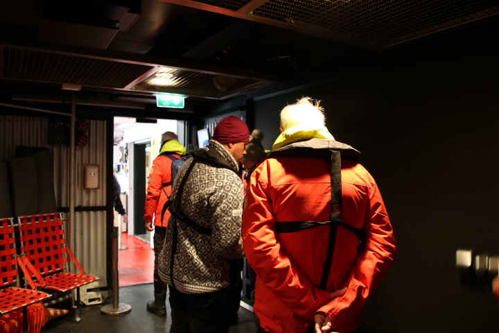
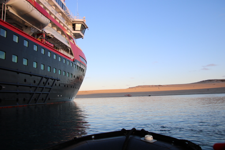
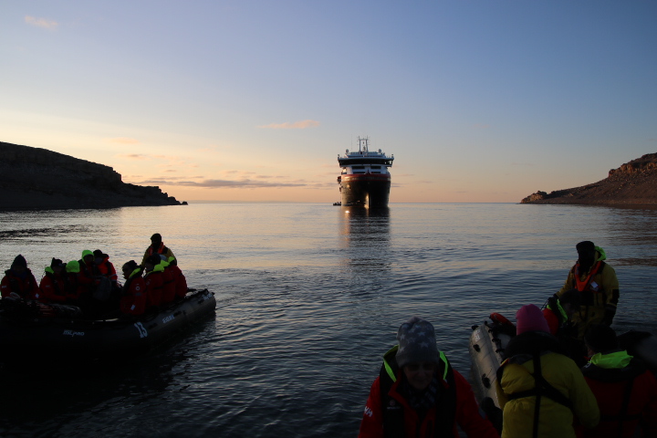
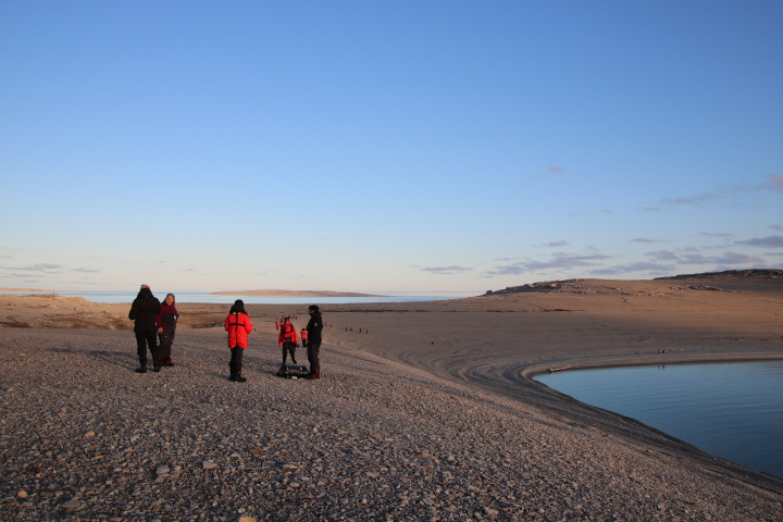
Since we wrote the above There was a change of plan as we were expecting another ‘sea day’. However, because of the cancelled landings the Expedition Team thought that a landing would be highly appropriate and set the scene for the major parts of the NWP. So we stopped at Sutton Island in the Victoria Channel on the southern end of Victoria Island. Here at 68N 114W we made a landing at 06:35 as the sun rose behind the ship and illuminated a red wine sea. No one is currently inhabiting the island but archaeology has revealed settlements of hunter gatherers around 5,000 years ago.

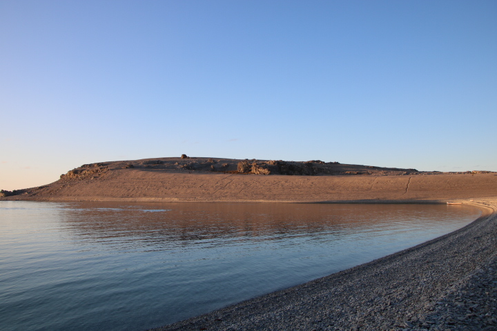
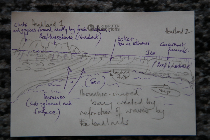
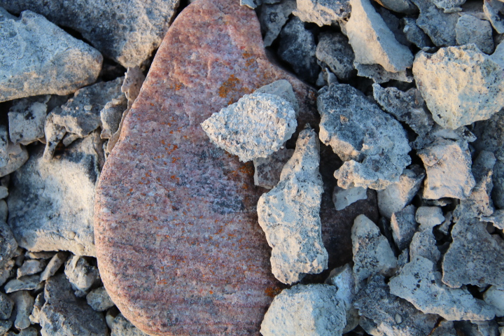
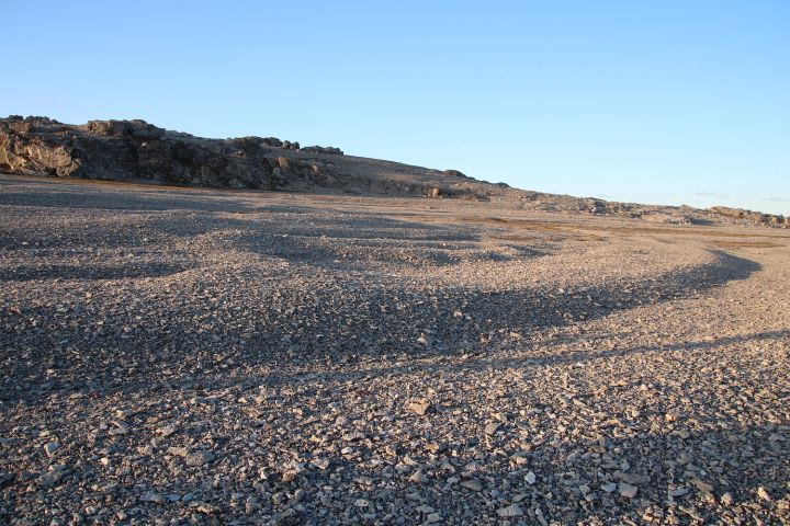
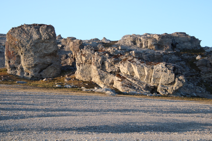
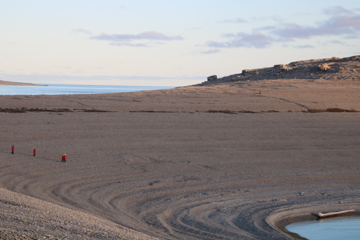
The island is two headlands connected by a horseshoe shaped bay of glacial till and moraines. The islands are topped with reef limestone of about 180 million years of age as well as some sandstone and haematite as isolated ‘lumps’. The limestone exhibits the blocks and gaps between them known as clints and grykes. In the UK the grykes would be widened by slightly acidic rainwater but here, because annual rainfall totals are almost the equivalent of a desert it is the frost action of freezing snow eventually expanding and widening the cracks. The exposed limestone is being weathered in a process known as exfoliation. Here, thin layers of rock peel off as a result of changing temperatures during the day and the seasons. Studying the island’s features and especially when one reached the summit, it is clear that ice has carved off the top of the smaller island, that the reef limestone on the larger island has not been eroded but stood proud of the ice (Nunatak). Bearing in mind that the whole of this region during the Ice Age was under attack vast quantities of rock plucked from the land and mountains by the ice has been transported under the ice (rounded rocks) or carried on top of the ice as moraines (more angular rocks) and as the ice began to melt about 10,000 years ago at just this one location thousands of tons of rock has been left behind. Most of this rock is a linear deposit like a ridge of high land connecting the two islands. This is an esker. Today the esker is attacked by waves refracted by the island headlands on both sides which creates the curve shape, which is now an isthmus, just like at Llandudno in the UK.

During lunch we departed and are heading east.