During the night we crossed the Arctic Circle. We ate breakfast at 66N 168W as we were about to leave the narrow section of the Bering Strait, staying on the USA side of the international boundary between the US and Russia and the International Date Line.
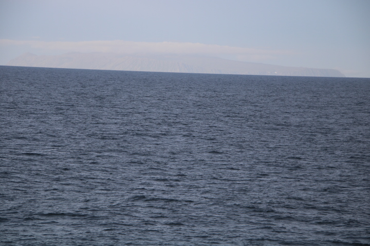
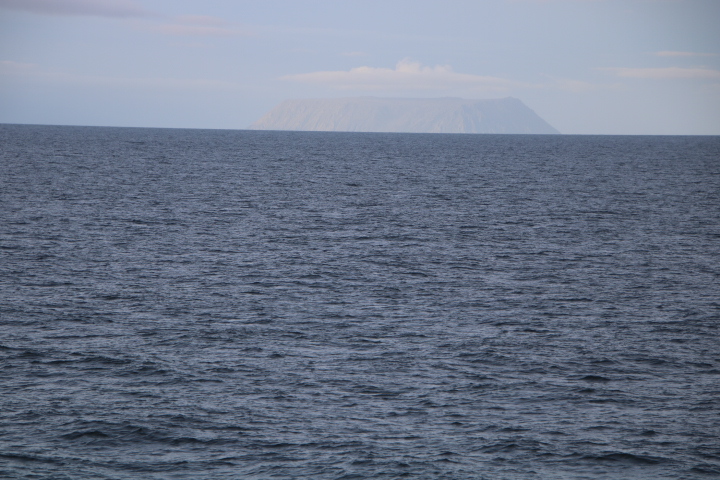
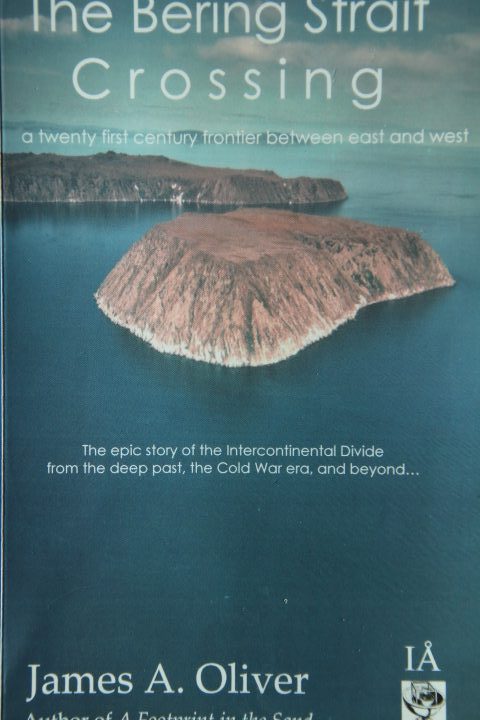
Here are two islands – Big Diomede(Russia) and Little Diomede (USA). There is 2.5 miles between the islands but essentially time stands still here because the International Date Line runs between the two islands. Little Diomede, on a Sunday, for example, has a view of Monday on Big Diomede. So travelling west one goes back a day at the same time. People say that Little Diomede is always yesterday! It was Magellan in 1520 who noted this when he apparently lost a day in the Pacific.
As for the Bering Strait, Pliny (23 – 79 AD) named the place where he thought Asia must end as Promontorium Tabin, but it was Mercator (1595) who drew the first map based upon this earlier supposition and showed the end of Asia and the start of North America. This map had the Pole at its centre and showed the Northwest Passage, the Northeast Passage, the Bering Strait but as the Strait of Anian which the Spanish claimed was in the north but never went there.
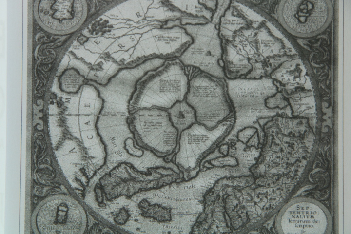
It was Vitus Bering who sailed into the Strait in 1728 but it was Cook who confirmed all of this in 1778 as well as the outline of Russia and Alaska. Cook was convinced that early explorers were accepting too much information from people he called ‘speculative geographers’, ‘closet navigators’, ‘speculative fabricators’, not dissimilar to social media speculation of today. Cook named the strait after Vitus Bering.
Currently the potential for new sea routes through both of the passages is being considered but it is the extent of the sea ice that restricts this and is still a major hazard, especially near the centre of both routes. However, come the day that it does happen both passages converge here at the Bering Strait – one side Russian, the other American. Food for thought!