At 08:30, from our cabin window on the starboard side of the ship, it appeared to be an overcast day. However, whilst we ate breakfast the sun was beginning to appear. We were making good progress southwards and it was a little cooler at 24⁰C.
At noon the Captain updated us on our progress. We were at 11S 9E, 744 miles from Walvis Bay. He expected the weather to deteriorate this evening and overnight with winds increasing to 30 knots and waves of about 6-8ft. Tonight we will advance our watches by one hour, which means we are 2 hours ahead of GMT.

Most of Namibia is arid or semi-arid and falls within the sub-tropical climate zone. Until the 1960s, when at school, the desert here was known as the Kalahari, but some geographers now claim that it is really a ‘fossil’ of a desert because it experiences more rainfall than 30mm, which is the default measure for a desert. The sands here show it was definitely a desert in the past.
The Namibian Desert, mostly known as the Namib, is thought to be the oldest on Earth. It is a scorched land of red basalt, burned and blackened during eruptions 130 million years ago. Little survives here without ingenuity and resilience. We will check this out.
The uniformed distribution of deserts is due to the pattern of solar radiation, air flow and rainfall within a Hadley Cell that spans the Equator and ends at the two tropics. The diagrams below are not to scale but are drawn to illustrate the above theory.


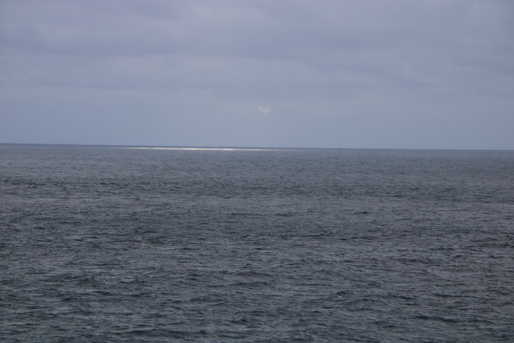
At the tropics the air is dry and descends, increasing in temperature. Any water at ground level is evaporated and taken by low altitude winds back to the Equator.


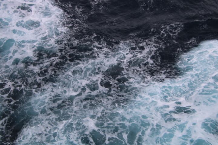
As we were on the Atlantic Ocean, we could see this happening and the diagram and photograph show this. At home we are too close to land to witness this.
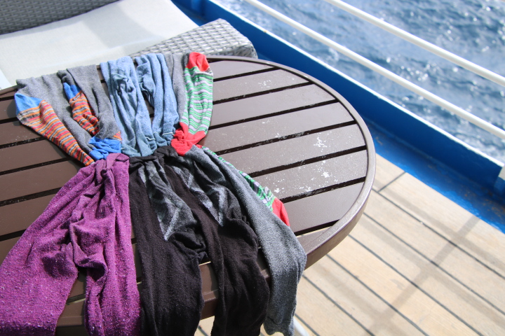
We had a pleasant afternoon and a good drying time, but by 4:30, it looked like the weather was changing, the wind was increasing, the temperature dropping and there was a threatening sky.