Opening the curtains before breakfast revealed another clear sky and our ship on the flat, calm sea heading east, with sun on the bow for the first time, to Takoradi, in Ghana. We had 266 miles to go to the next port and have covered 3392 miles from Lisbon.

Our arrival tomorrow will be at the biggest container port in West Africa built on part of the cuspate or lagoon coastline which extends from The Gambia to Cameroun.


The physical geography of West Africa provided natural locational factors known as geographical determinism. Along the cuspate coastline are stretches of savannah grassland, palm forest and mangroves, which hold the water and prevent wave damage, and a mix of tropical and equatorial climate that has encouraged the development of lagoons. Together this enabled coastal communities to be connected with each other and the interior without venturing into the open ocean. These easy connections to the interior facilitated trade with landlocked countries. The so-called ‘Sudanic climate’ of milder rainy periods and prolonged dry spells made the coastline suitable for the growing of root crops and cereals as well as fruiting trees. These could all be grown together in plantation-like areas and could be sold in the interior because of the ease of access. The mountains, well to the north of the coastline, deflected the dry Harmattan winds from the Sahara Desert, as well as offering some protection from potential invaders. The sea also contributed to this determinism as the shifting sands, and those accumulated by waves, made barrier islands behind which were safe fishing grounds and inlets for salt making.
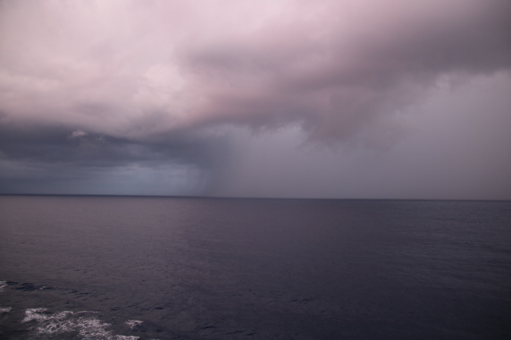
And it really did rain for a while after this picture was taken.