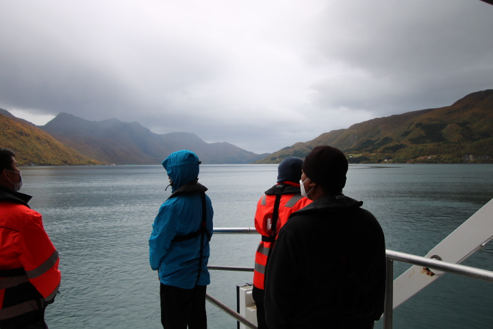
At 08:00 we were at 66⁰N 12⁰E just short of the Arctic Circle so with a quick donning of jackets we were out to celebrate once more!


The Arctic Circle (66.33N) is used by geographers to define the Arctic. Everything north of here is within that zone, and it is also the southernmost extent of the midnight sun. However, some places south of the line experience elements of daily life in such a remote and challenging environment. Temperature extremes, remoteness and difficulty in obtaining resources for sustaining daily life have led geographers to redefine the Arctic with a more oscillating line rather than the long-accepted norm. For example, Des Moines, Iowa (USA) is colder in winter than the North Pole but is much further south than the Arctic Circle.


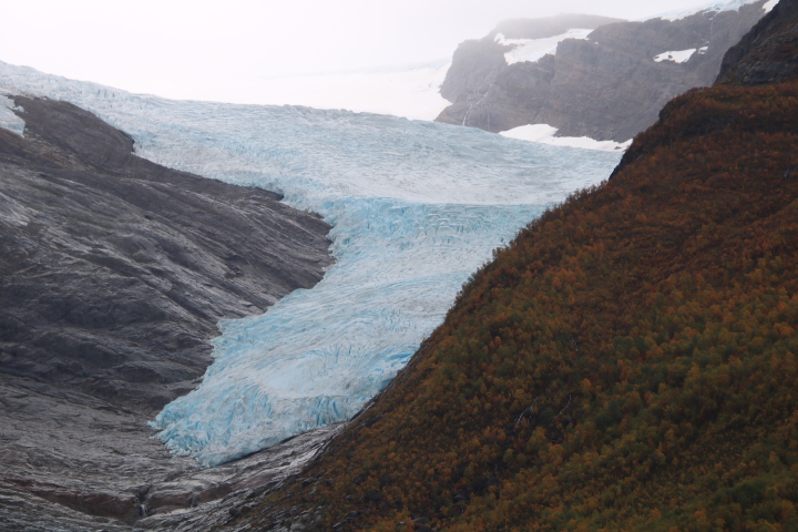
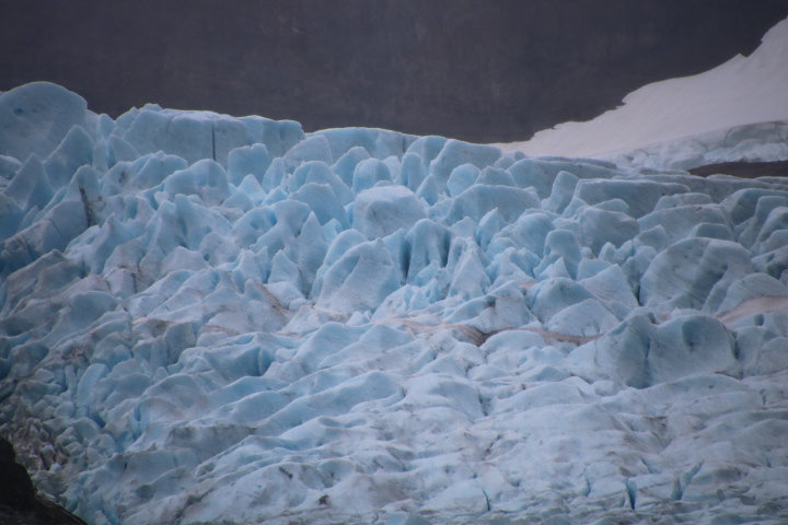
We left the main shipping lane to go to the head of the fjord where we anchored opposite the Svartisen Ice-cap. Following a short transfer by Zodiac dinghy and a walk alongside the Engenbrevatnet Lake we were facing Norway’s second largest glacier with a tongue extending towards the fjord. With the retreat of the glacier the snout is several kilometres from the terminal moraine. We met a couple on the ship who 40 years ago had their photograph taken where the ice met the fjord. The retreat is not as great as in central Europe or in Canada because the relative cold of northern Norway helps maintain the bulk of the ice which is estimated at between 600m and 1500m thick. The tongue that we visited today is one of the lowest lying in Europe.


At 18:00 we met the Captain in the Lecture Hall where he explained that we were going to be hit by another storm. The change in programme means that we will visit the Lofoten Islands as planned tomorrow, calling at Tromsø to refuel and restock before going direct to Svalbard in order to be there before the storm passes. We will return to the coast of Norway and visit places in the reverse order.