Friday 18th March
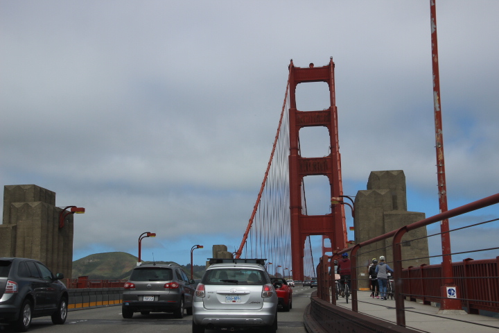
Our mission today was to retrace our steps up Highway 1 North, crossing the loess of China in North America, to reach the Golden Gate Bridge in San Francisco by lunchtime.
 Through the coastal range to San Francisco.
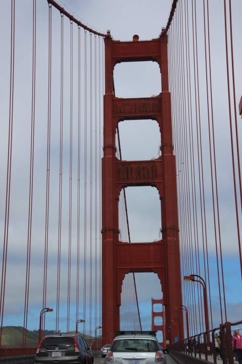
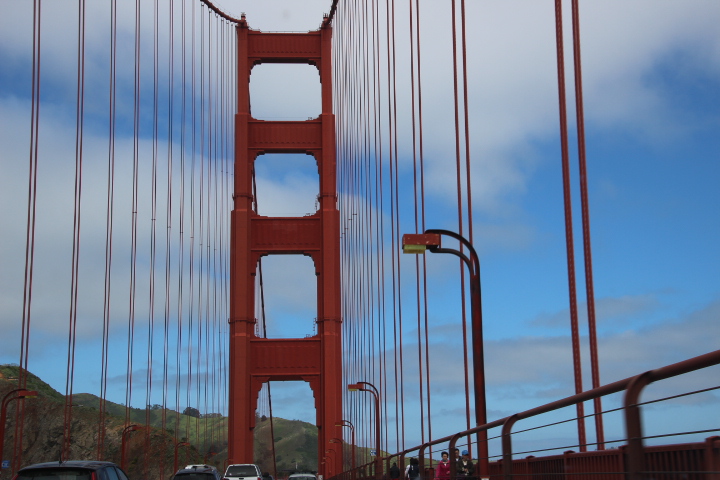
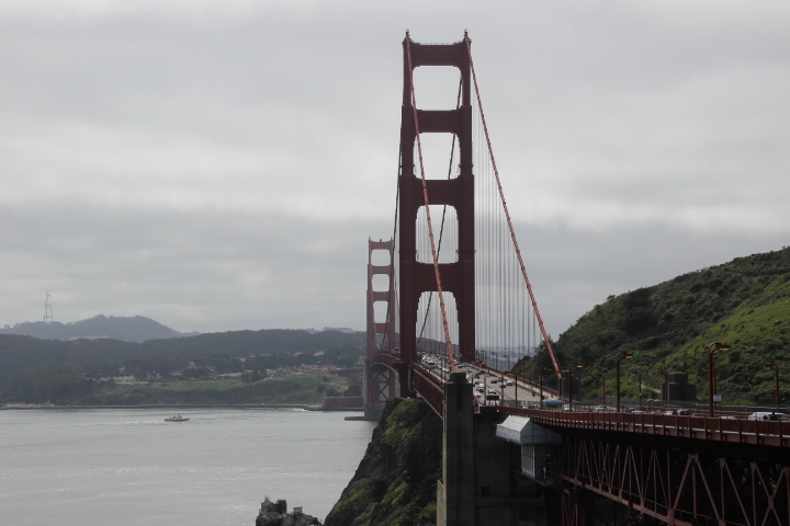
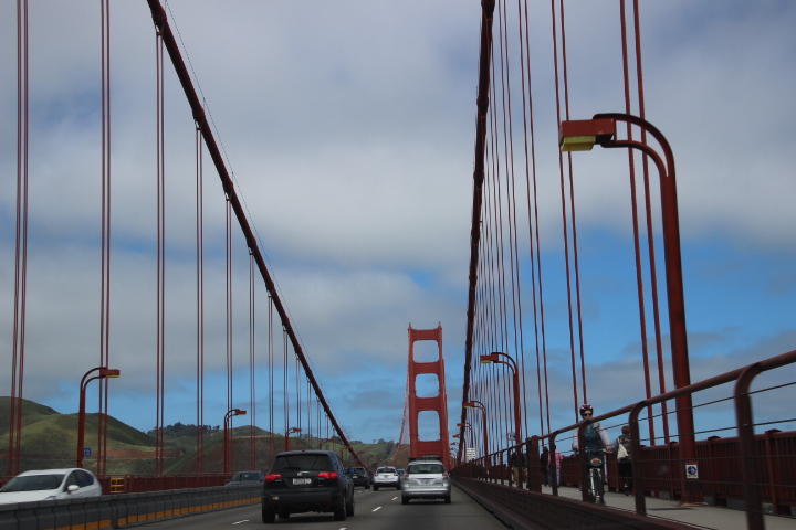
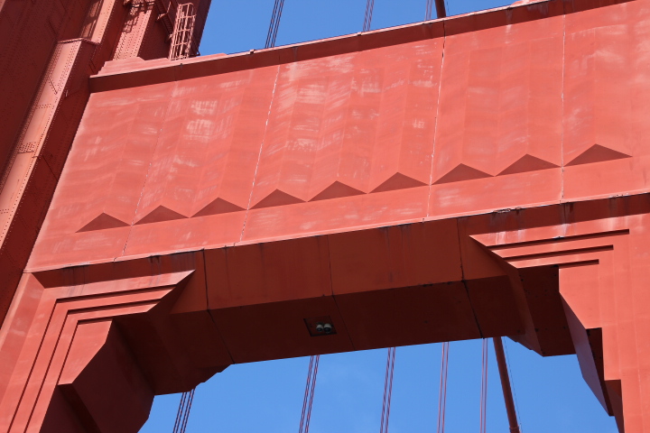
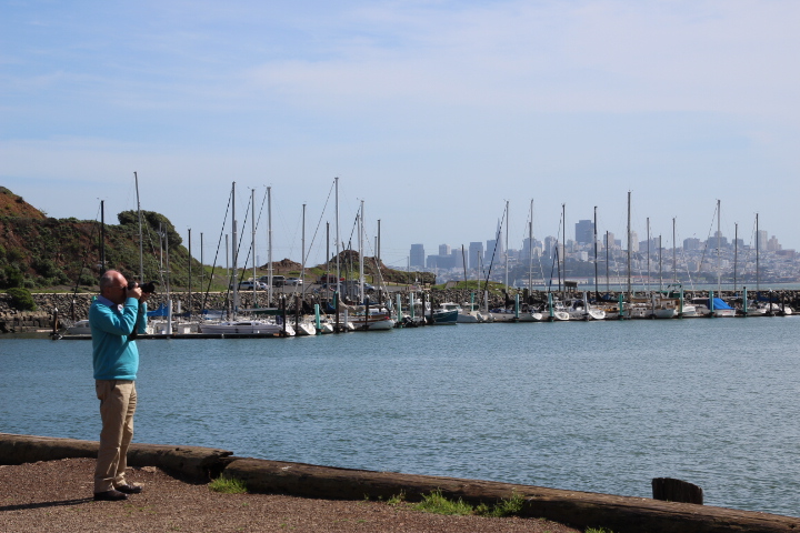
We achieved this and along with hundreds of other people explored the 1.7 mile span. The traffic is amazing and non-stop, but unlike modern suspension bridges this is so over-engineered that barely a movement can be felt. It is amazing how Art Deco work is built into the steel structure. A short drive to Fort Baker provided us with an amazing bayside view of the bridge and San Francisco.
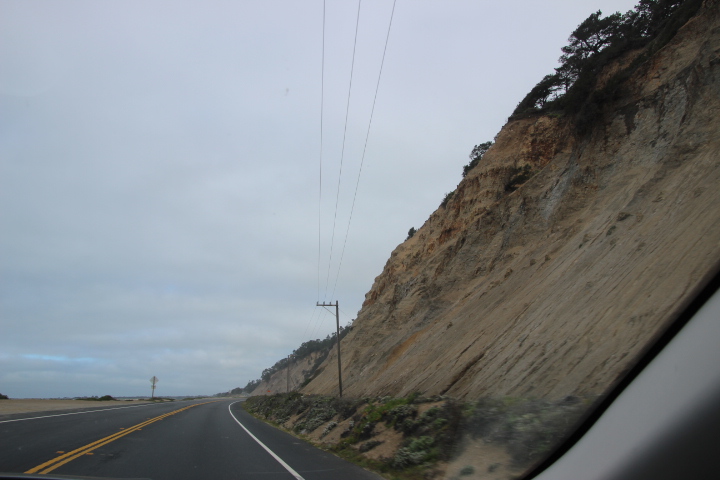
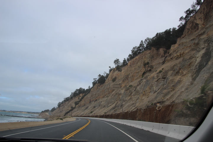
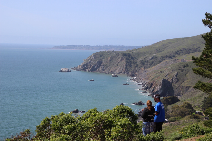
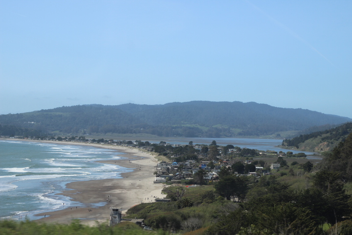
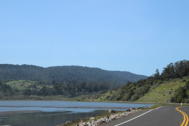
Later we followed Highway 1 up and over the slopes of Mt. Tamalpais (elevation 2586ft) which offered incredible views of the untouched coastline. Following this we descended over tens of miles to the Point Reyes peninsula and the Tomales Bay which, without further research,is either a ria (sea flooded valley) or a small rift valley formed by earth movements.
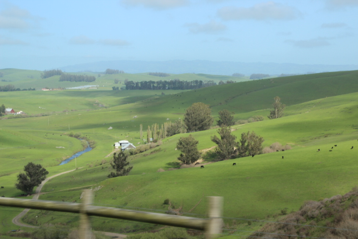
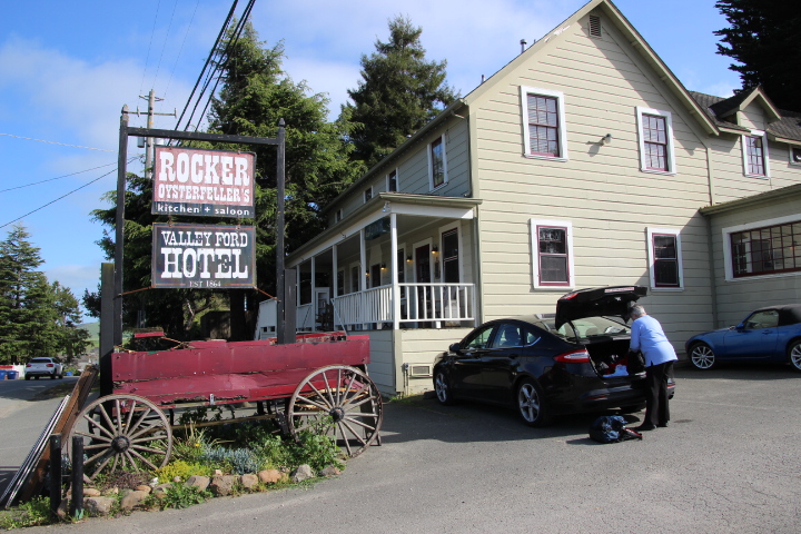
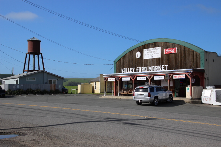
We continued through farmland to Valley Ford and the Civil War era Valley Ford Hotel within which is the Rocker Oysterfeller’s restaurant in a building which retains its old time feel and a village store is across the road where one could still tie up horses after a long journey!
We are staying here tonight and the meals of chicken and salmon with cocktails and local wine was outstanding!

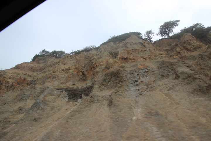
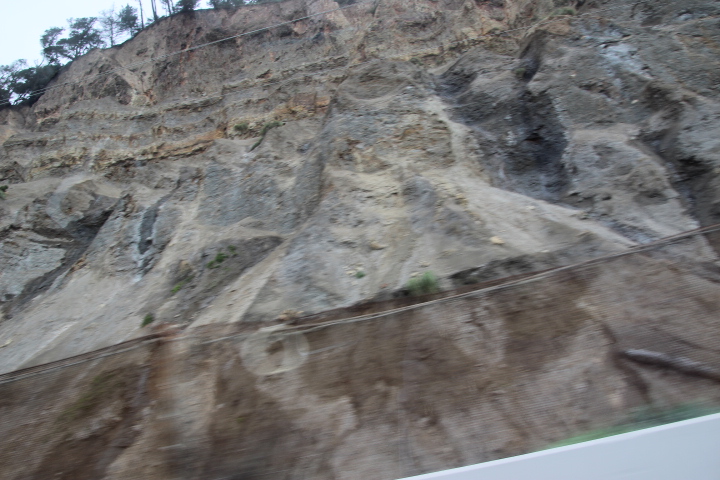
Further research this evening has shown that from San Francisco northwards we have followed the San Andreas fault line, or more accurately, the fault zone. The San Andreas fault is the actual break in the crust of the earth but its affects spread over a zone several miles across. There are fractured hillsides and rolling hills pushed together as a result of earth movements along the fault line.
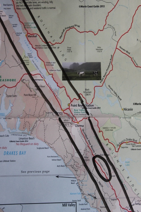
This is a transform fault so part of California is on the Pacific plate whilst the rest of the state and the USA are on the North American plate. It is the movement alongside each other that creates the earthquakes deep in the earth but their most immediate effects are felt within the fault zone. So Tamales Bay is a rift valley made as the section of the fault zone has dropped during earthquakes along minor fault lines along the major San Andreas fault.