Monday 14th March
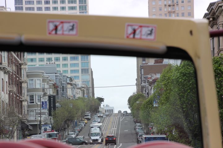
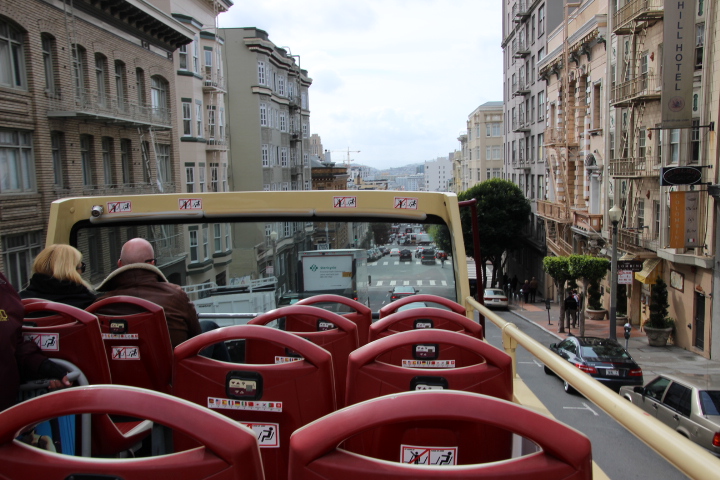
We were up and at it early this morning in order to guarantee good seats for photography for the first open top bus tour of the city. The morning was bright, dry and a little crisp and Fisherman’s Wharf was coming to life. For the next two and a half hours the bus was to take us past all the sites and important neighbourhoods of the city as well as across the Golden Gate Bridge, which we saw for the first time this morning from our hotel room window.
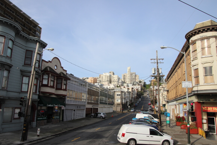
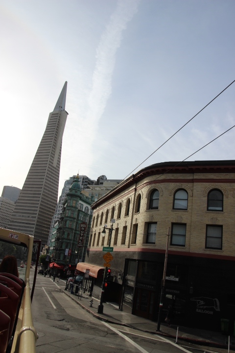
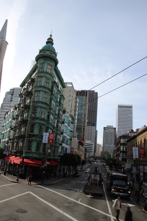
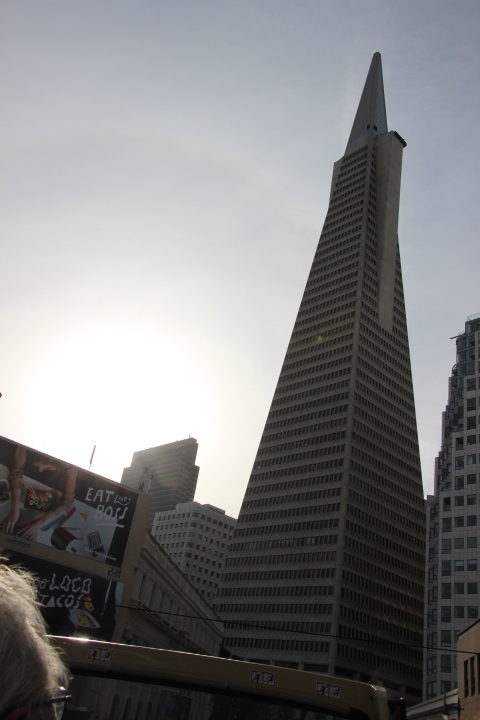
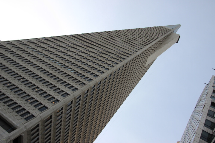
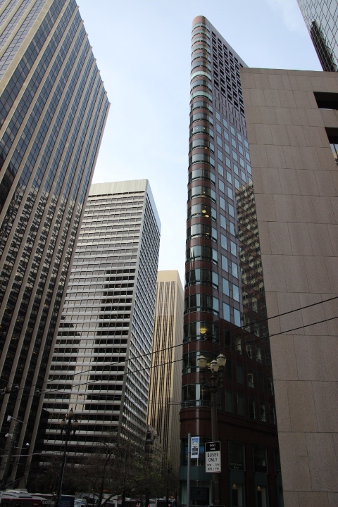
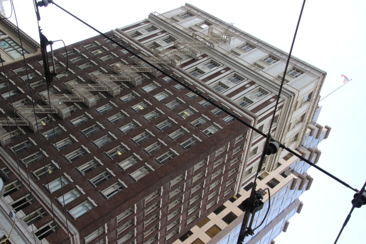
From Fisherman’s Wharf we made our way southeast to North Beach. This is a ‘new’ area as the beach has disappeared under landfill as the city was expanded by at least a mile in width. When new buildings were being constructed in 2005 the remains of at least one wooden cargo ship and all of its marine artefacts were found beneath the landfill. The ship had sunk in San Francisco Bay in the late 19th century. Our exploration continued to the Financial District where we saw the pyramidal Bank of America building, completed in the mid 1970s and for a time was the world’s tallest building. Here the 19th and early 20th century low rise buildings are towered over by a forest of skyscrapers.
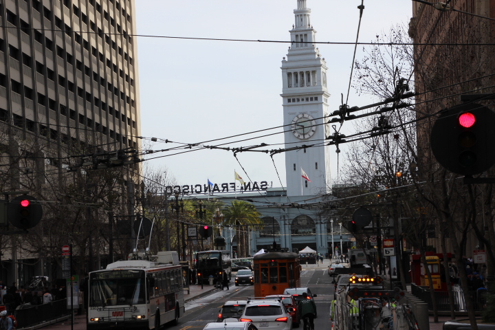
We passed the reconstructed Ferry Building near the Bay Bridge. This was the terminus of ferries that brought people from cities up the Sacramento River that did not have a rail link. It was also to this building that passengers who had crossed America by train arrived in San Francisco from the terminus in Oakland, opposite the city across the Bay. (This was not uncommon as in New York passengers terminated in New Jersey and took the ferry across the Hudson to NYC.) In San Francisco rail passengers today have to get to Oakland but now there is the bridge and a rapid transit railway line.
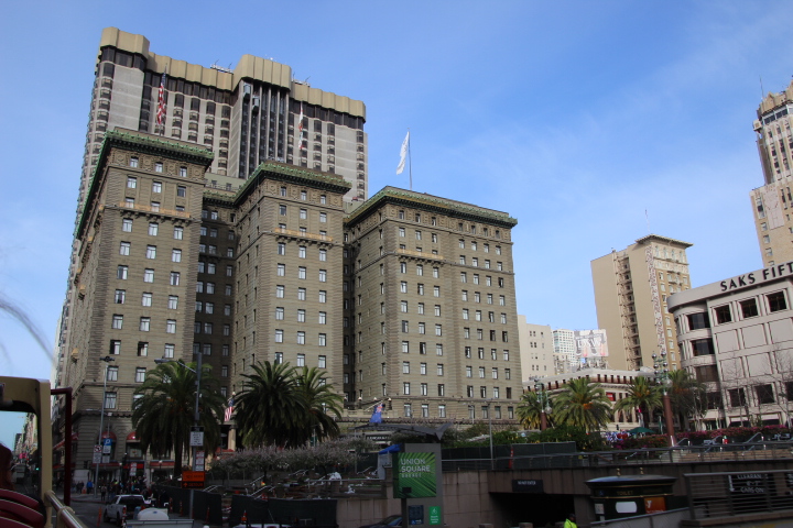
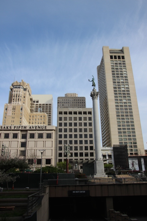
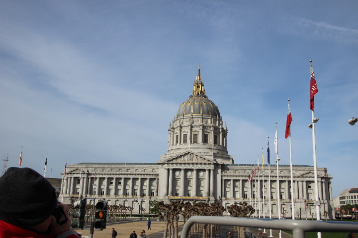
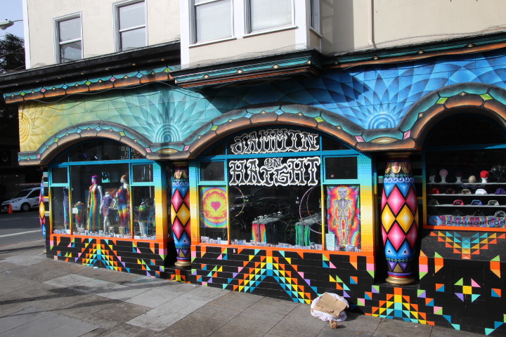
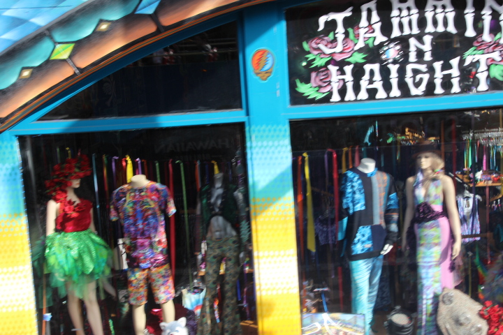
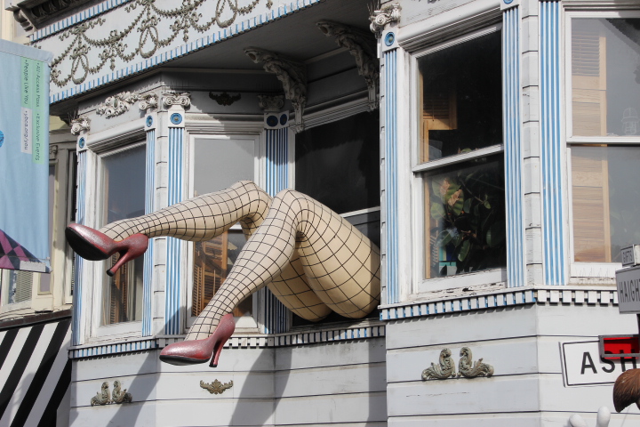
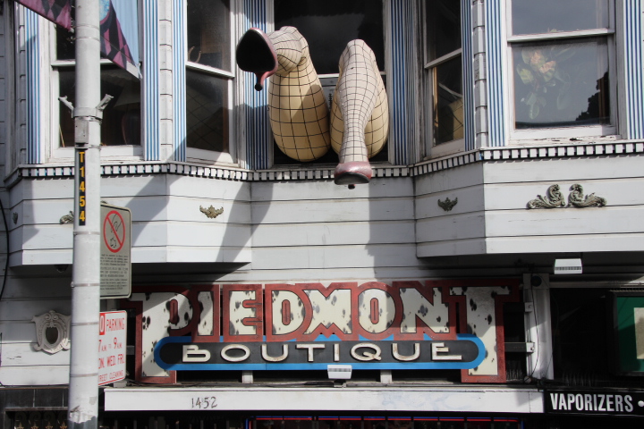
Onwards we went through the Mission and Tenderloin Districts, passing the City Hall to reach Haight Ashbury which rose to fame during the late 1960s with the hippy movement. This has led to many of the buildings being in continuous use and very well maintained.

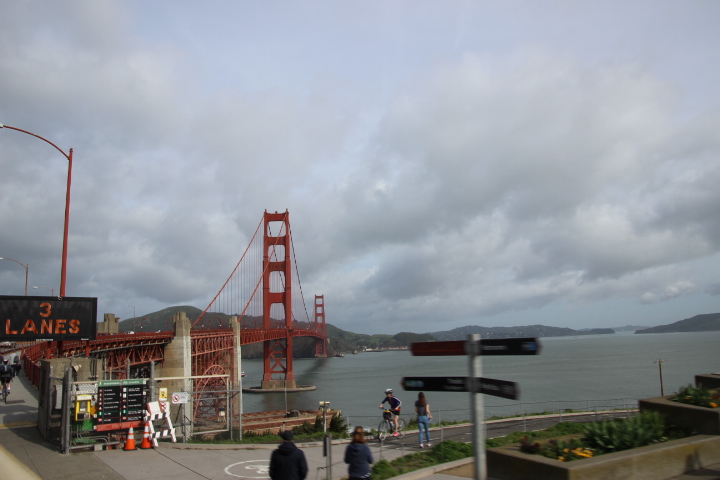
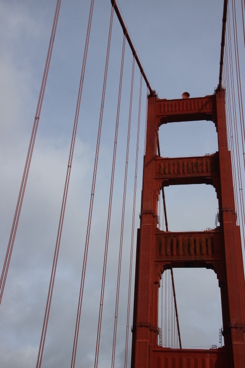
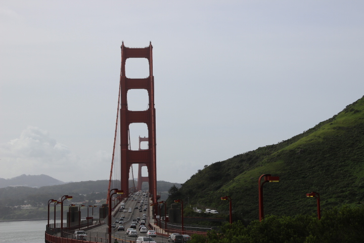
We skirted the Golden Gate Park and the former military headquarters called The Presidio before crossing the Golden Gate Bridge. The Presidio today is public park land and the headquarters of the film maker George Lucas. The crossing of the bridge was thrilling as to one side is the Pacific Ocean and to the other San Francisco Bay and this morning a giant container heading out of port beneath us. We were lucky today as the sky was clear because many times and especially in summer warm air over the land meets cold air travelling south over the ocean and creates thick fog. As with many bridges many people said that it could never be built, but to others it demanded crossing, especially by railway tycoon Charles Crocker who put forward an idea in 1872. A fourth and realistic proposal was put forward in 1921 and eventually opened in 1937 when on 28th May 200,000 pedestrians crossed the high span. Motor vehicles were allowed the next day. For a long time the 1.7 mile span made it the longest bridge in the world but now as suspension bridge technology it has been overtaken by bridges in Britain, Japan and the USA.
Turning around at a view point at the northern end of the bridge we returned to the city by means of Cow Hollow where dairy farmers worked in the 19th century and Van Ness Avenue. This is one of the widest in the city as the eastern side had its buildings demolished in the days after the 1906 earthquake. This earthquake had demolished lots of buildings to the east of Van Ness and especially in North Beach because the shock waves vibrated the soft soil and landfill creating liquefaction which forces groundwater to the surface making a sort of quicksand and buildings sink or tilt at crazy angles. Many of these buildings were timber and with broken gas pipes and electric cables fires started and because the water mains were also out of service the authorities only had The Bay as a source of water but not enough pipe to extinguish all of the fires. The undamaged buildings on Van Ness were demolished to create a fire break which actually saved a large part of the city and over that fire break the buildings have not been replaced.
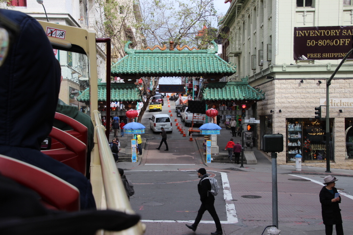
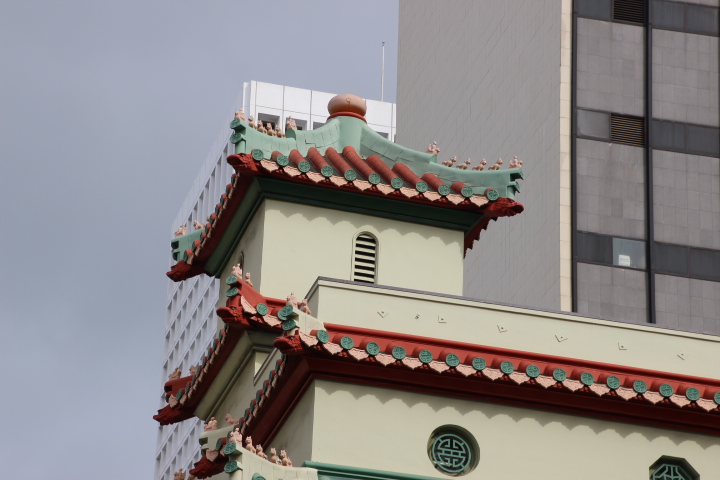
Finally we skirted China Town and returned to our starting point. By this time Fisherman’s Wharf was getting busy and looking more like Blackpool on the Bay.
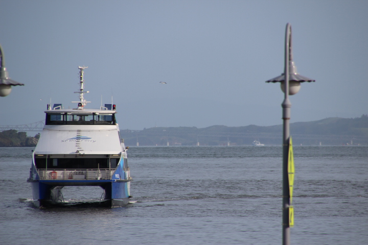
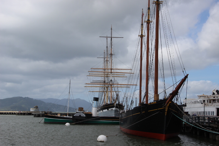
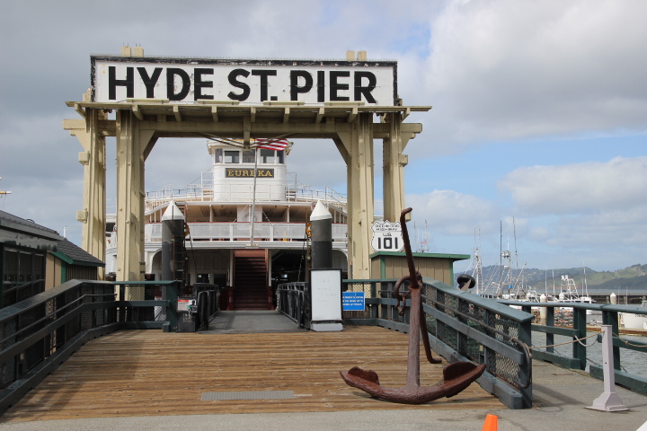
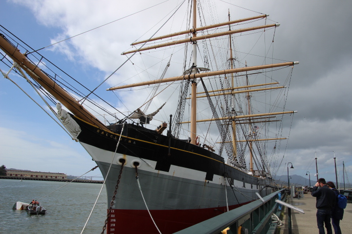
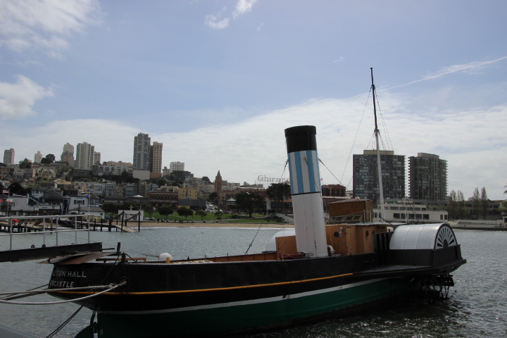
In the late afternoon we found some interesting parts of the wharf as well as some of its most tacky. Along one of the piers are moored sailing ships of the type used when trading with China before 1843, a Bay Ferry that carried motor vehicles to the north side which was eventually put out of use by the building of the Golden gate Bridge and even a tug from Sunderland which apparently made it to San Francisco under its own steam!
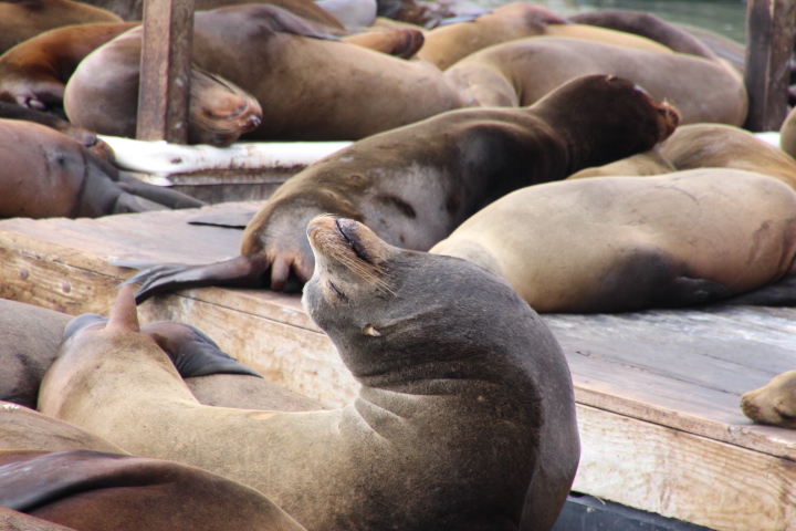
In October 1989 the city was hit by a large earthquake centred on Loma Prieta on a branch of the San Andreas Fault. Following that a few California sea lions began basking at Pier 39. By January 1990 large numbers had arrived and were literally taking over K dock. Advice was taken and after much research the experts recommended that the sea lions were better staying where they were. It is thought that there is a plentiful supply of food in The Bay (whether this is a product of the earth movements no one can be sure) and an environment protected from predators which proved to be an ideal location for the sea lions. In 2009 at one count there were 1701 in residence.
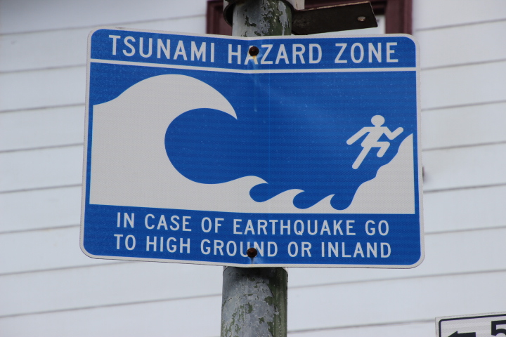
The city is prepared for any future earthquakes and at sea level people are remind of the tsunami risk especially if the earthquakes occur under water.