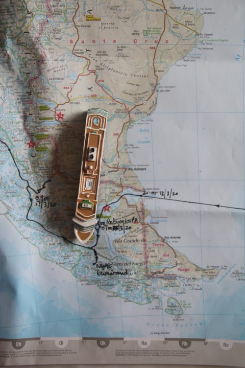
We awoke at 07:30 to a dark, almost black sea at 52° S 73° W heading towards the Chilean fjord coastline where the Andes Mountain Range reaches the sea.
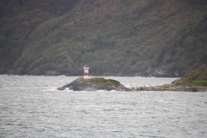
Whilst eating breakfast we managed to cross the shallow strait at Manuel Rodriguez. This is where the sill of the fjord rises to the surface because here the glacier started to melt and lost its erosive power. This meant that at high tide there was only 2 metres of space between the ship and the bottom of the fjord.
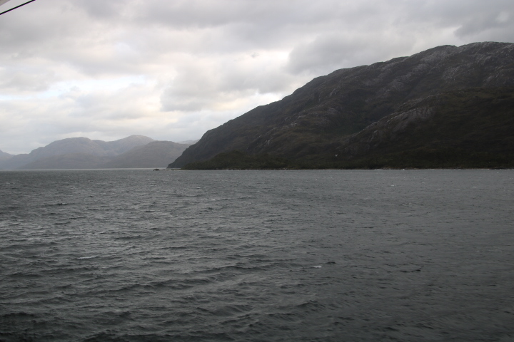
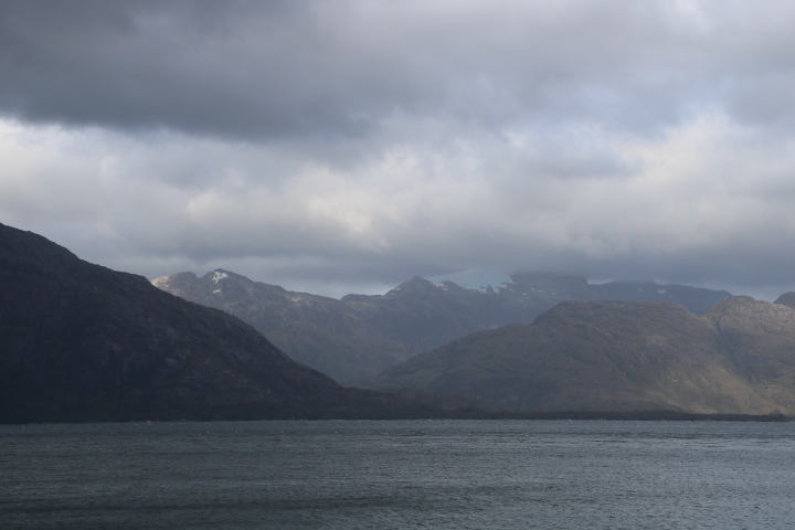
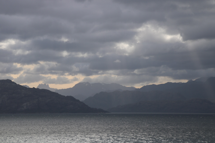
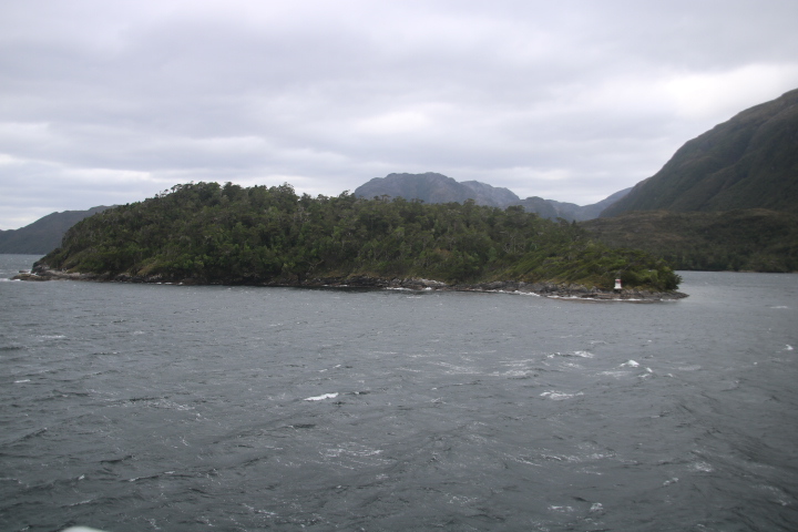
We continued along mountain-lined fjords with lots of exposed granite, schists, evidence of folding, fracturing by tectonic movements and wind erosion. The latter is a constant here and small trees are bent to almost 90 degrees by it.
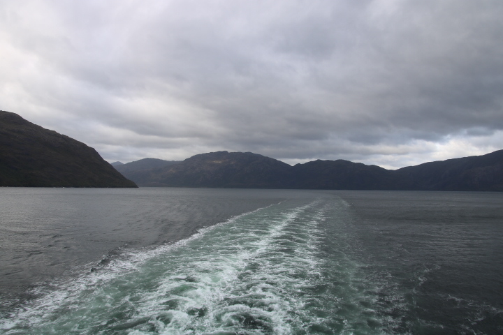
At Rennell we made a sharp turn into another fjord. Looking from the stern we saw only mountains to the left and right and a high mountain wall filling the gap. We put ourselves in the position of early mariners faced with this view. Which way would enable us to reach open sea? None of them knew which was a cul-de-sac. By midday we had reached an area of sedimentary rocks where the glaciers had been more erosive.
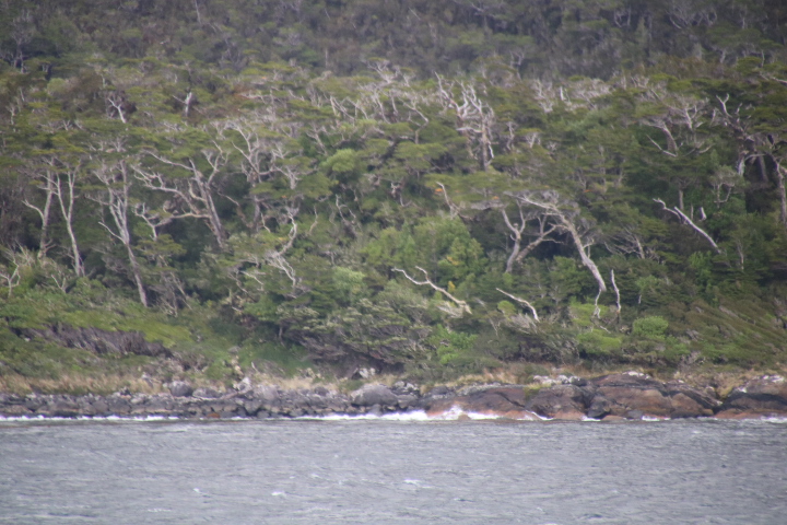
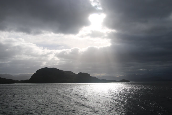
There were drumlin like hills, moraines and a clearly defined strandflat before the seawater. As we left the narrows we came across roche-moutonees which are rocks shaped by the moving ice and covered by shrubs and small trees. These are similar to the Thousand Islands in the St. Lawrence River in Ontario, Canada, only they have houses on them.
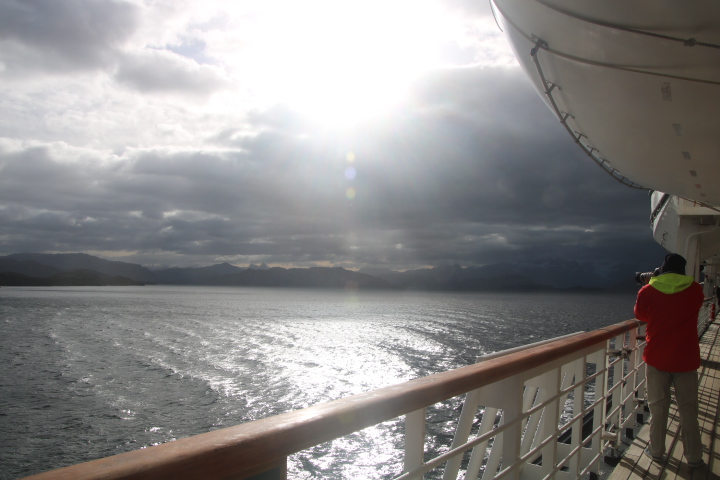
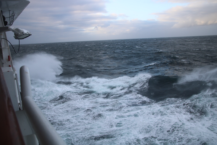
We are now in the open ocean and expecting a Force 9 wind straight on to the bow, with 4 metre high waves and as the Captain announced, we will definitely feel it, but this is nothing for the South Pacific.
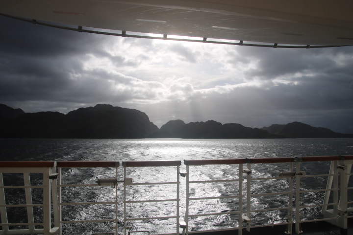
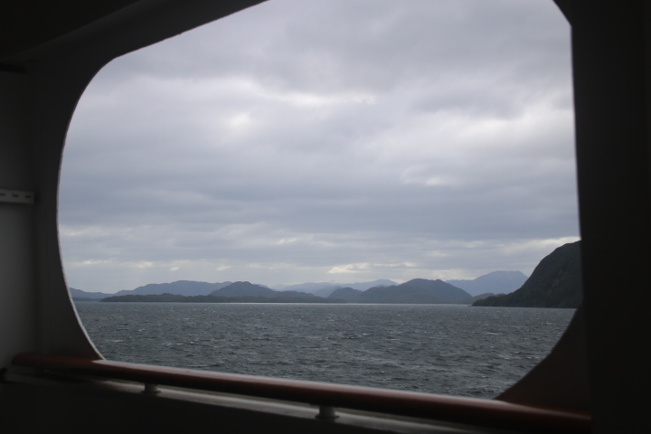
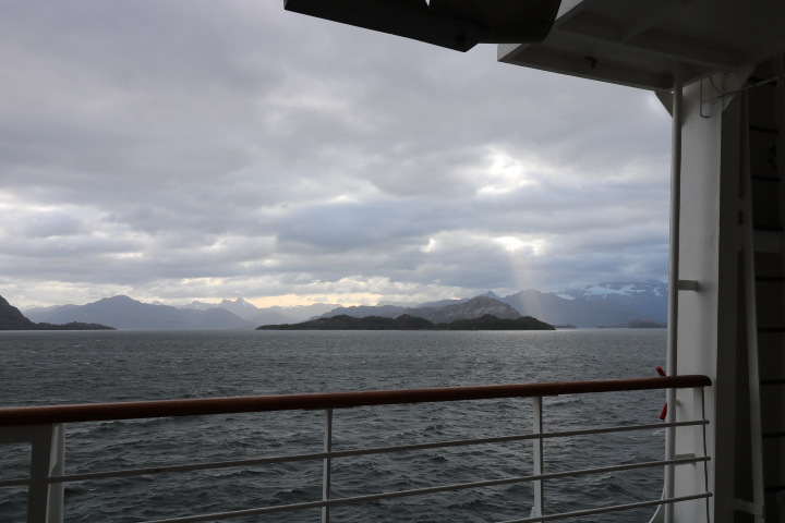
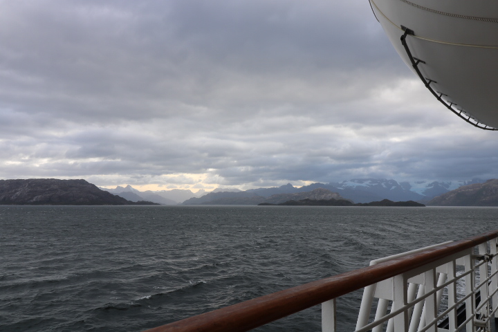
We have been on the move for more than 24 hours and the landscape has barely changed. The scale of this landscape is vast and it is difficult to imagine the forces that made this.