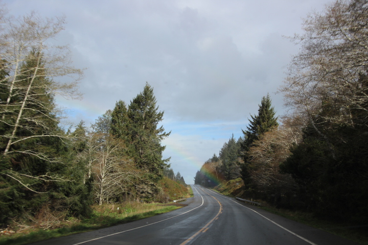
Thursday 24th March
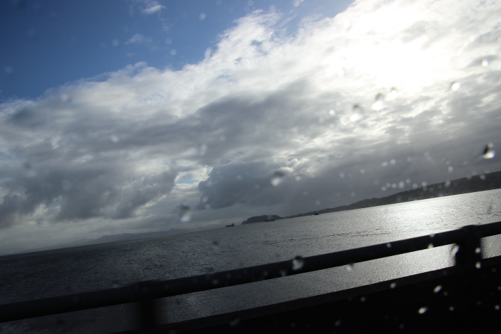
Last night’s storm had cleared as we left Astoria this morning. We are once again following Highways 1 and 101 so we had to cross the five mile wide mouth of the Columbia River. This is a deep water inlet which is mostly glaciated over several periods of glaciation in North America. This can be seen in the landscape as one looks south of the river the streets climb to their summits in a series of steps rather like San Francisco where each step is the top of the receding glacier thereby producing a ‘valley in valley’ formation as can be witnessed in Calderdale in West Yorkshire (UK) though just a little bigger!
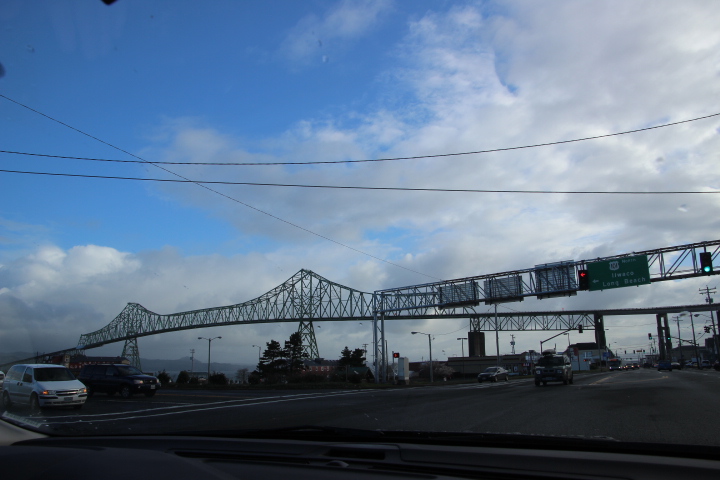
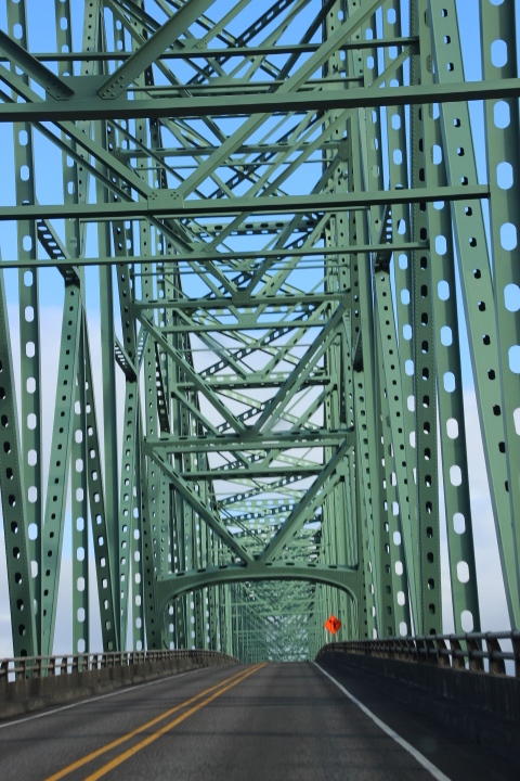
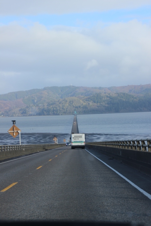
The deep water provides a safe harbour for tankers, container ships and bulk carriers which means that the Astoria-Megler Bridge is a very high level cantilever crossing of the deepest shipping channels and to gain access to this the road spirals and climbs above the waterfront. Having crossed the high level section the crossing is not over until one has crossed the low level bridge which extends northwards for several miles.

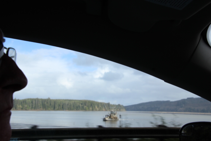
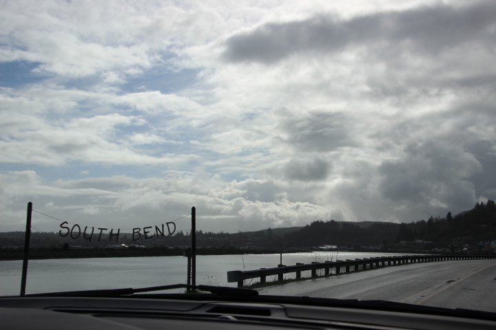
 We continued on the original Highway 1 where we rounded the headland called Cape Disappointment which is where the Columbia River finally enters the Pacific Ocean and was named by the explorer Captain John Meares who it is said in 1788 interpreted the sandbars and the landscape to mean that there was no major river here. How wrong could he have been!! Further north we skirted Willapa Bay which is one of the country’s oyster grounds as it is sheltered by the Long Beach peninsula and fed by three crystal clear rivers from the mountains. There are two towns here, South Bend and Raymond which, according to the guide books, compete for fame. The former as the oyster capital, the latter as the lumber capital of the Pacific Northwest.
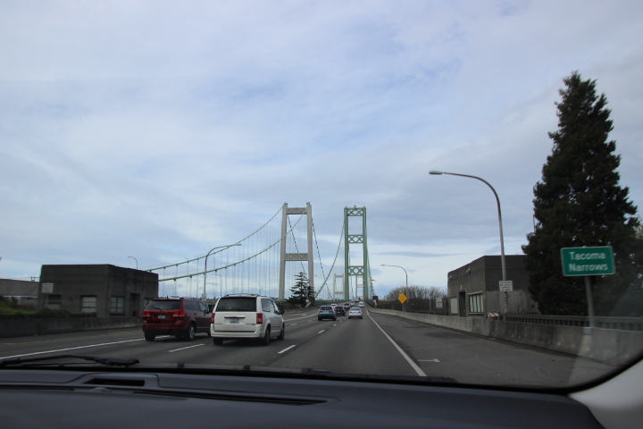
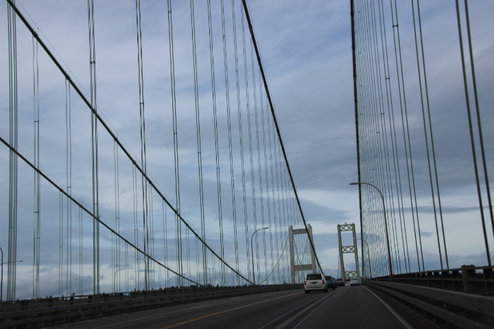
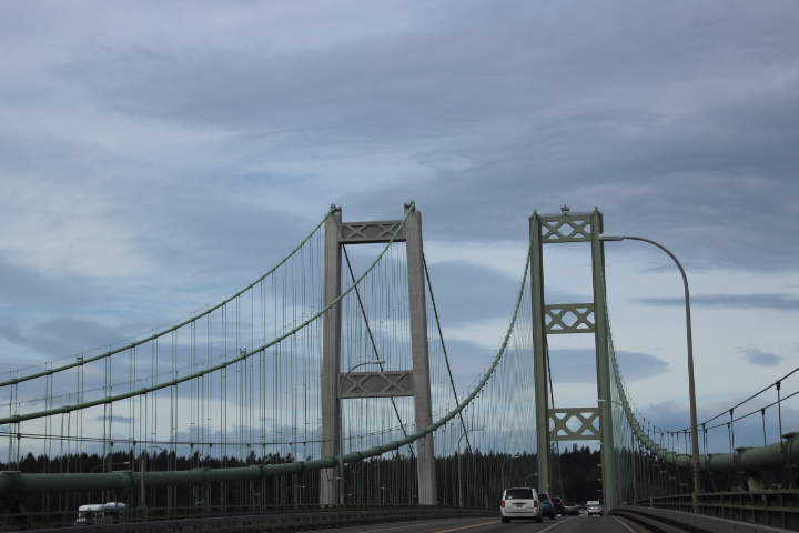
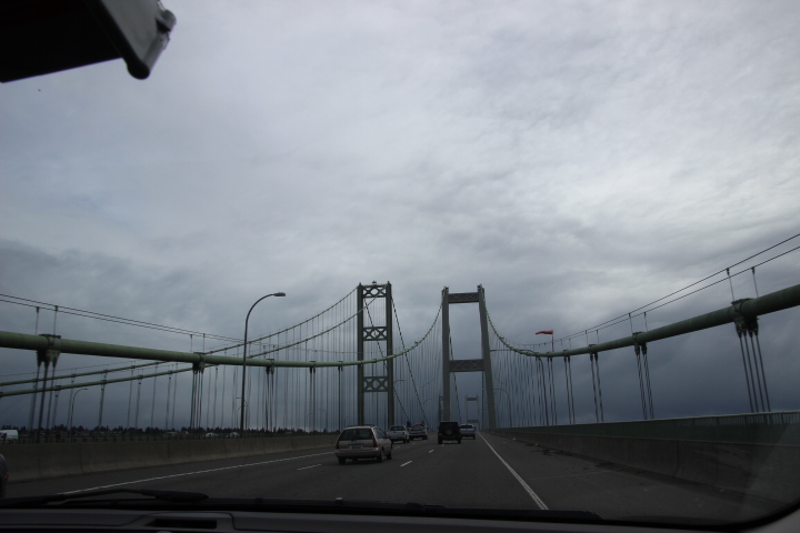
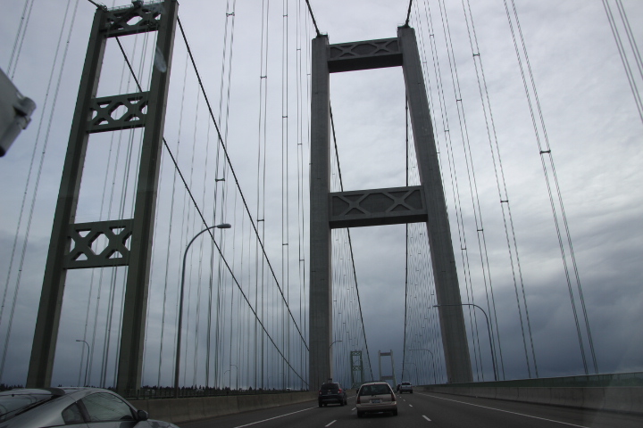
 To complete the whole of Highway 1 would involve at least one more day, but we have a train to catch and some aeroplanes to see being built, so we diverted to Olympia and Seattle. Before checking in we crossed the Tacoma Narrows travelling west bound over the replacement Narrows bridge for the one which in the early 1930s collapsed in strong winds. It had already gained the name ‘Galloping Gertie’ as the cables connecting the roadway to the man suspension cables had not been designed to work with and against any winds, so the road deck rippled and rippled even more which finally led to the steel being torn apart. The replacement bridge was designed to replicate the original and the newest bridge, to carry eastbound traffic, uses more concrete but still replicates the design of the originals. The unfortunate thing is that the small information lay-by that the Lisle family discovered in the 1980s no longer exists.

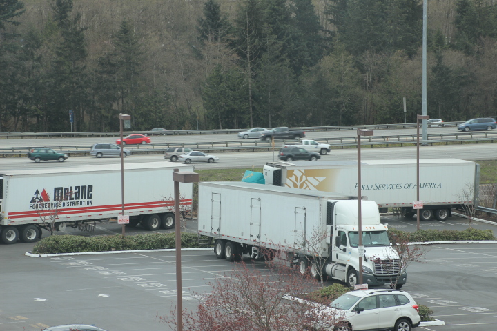
 After a thrilling drive on the I-5 (motorway) we checked in to our hotel and are currently waiting for the restaurant to open!!